© Tiroler Wanderhotels e.V. - Wohlfühlhotel Schiestl KG


- Breve descripción
-
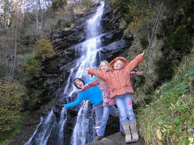
Leichte Wanderung zum Harter Schleierwasserfall.
Die Rundwanderung ist für jedermann unbeschwert begehbar. - Dificultad
-
fácil
- Valoración
-
- Ruta
-
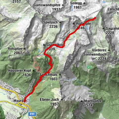
Pfarrkirche Heiliger BartholomäusHart im Zillertal (666 m)Spielplatz/Wöxlkreuz0,5 kmSchleierwasserfall2,7 kmHaselbach3,7 kmHelfenstein4,7 kmHart im Zillertal (666 m)6,5 km
- La mejor temporada
-
enefebmarabrmayjunjulagosepoctnovdic
- Punto álgido
- 721 m
- Punto final
-
Hart im Zillertal
- Perfil alto
-

-
-
AutorLa gira Naturerlebnisweg Hart im Zillertal es utilizado por outdooractive.com proporcionado.
GPS Downloads


Información general
Punto de avituallamiento
Más circuitos por las regiones