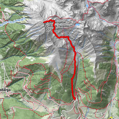
Datos del tour
6,3km
1.779
- 2.363m
375hm
375hm
03:30h
- Breve descripción
-
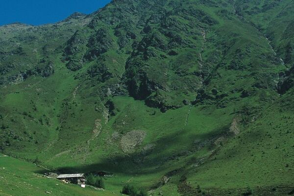
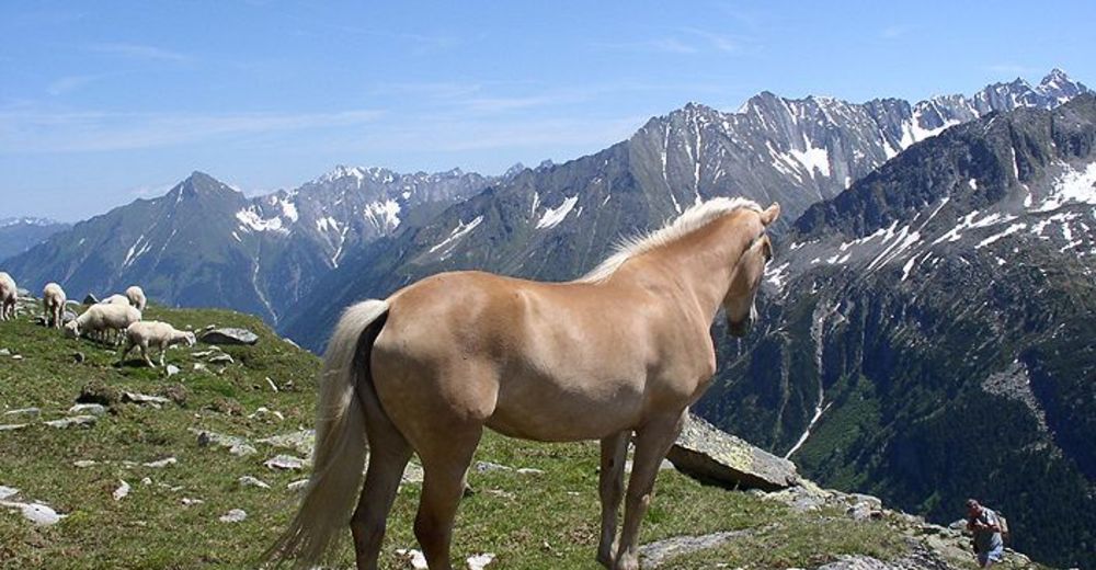
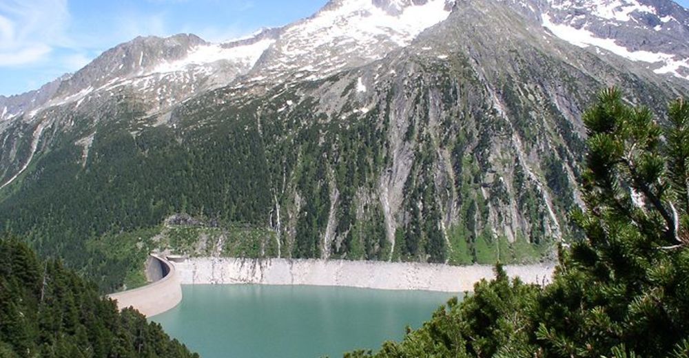
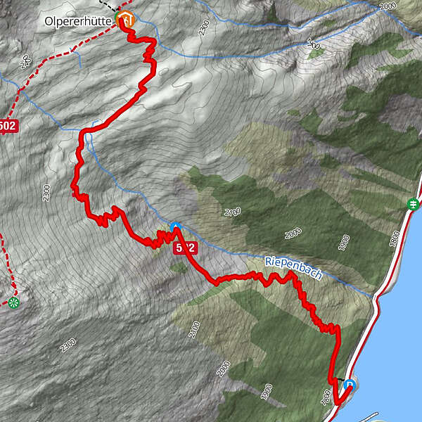
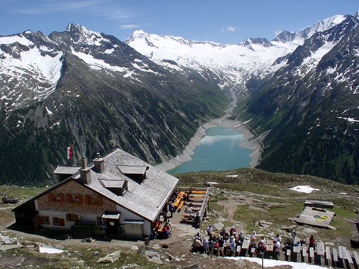
Die Olperer Hütte befindet sich in herrlicher Lage im Riepenkar oberhalb des Schlegeis-Stausees südöstlich unter Olperer und Gefrorenen-Wand-Spitze.
- Dificultad
-
fácil
- Valoración
-
- Punto de salida
-
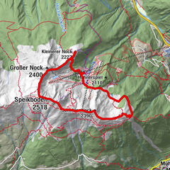
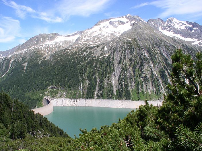
Schlegeis Stausee (1782 m)
- Ruta
-
Winterraum3,1 kmOlpererhütte3,2 km
- La mejor temporada
-
enefebmarabrmayjunjulagosepoctnovdic
- Punto álgido
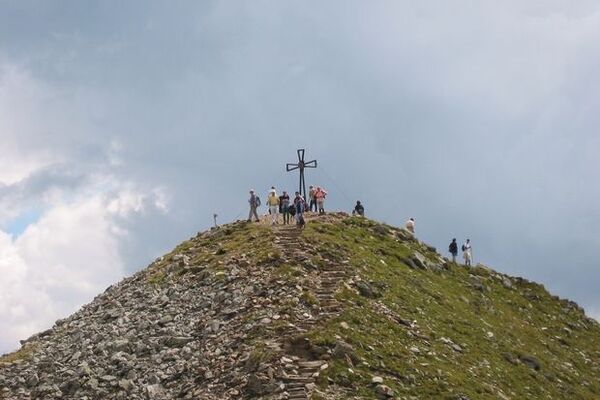
- Olpererhütte (2.363 m)
- Descanso/Avituallamiento
-
mehrere Einkehrmöglichkeiten am Schlegeis-Stausee, sonst nur in der Olperer Hütte.
- Material cartográfico
-
Kompass Karte K037, Kompass Karte K37, Zillertaler Alpen von Mayr

- Fuente
- Hans-Jürgen Koch
GPS Downloads


Superficie de carretera
Asfalto
Gravilla
Pradera
Bosque
Roca
Expuesto
Más circuitos por las regiones
-
Brixen und Umgebung
1976
-
Tux - Finkenberg
990
-
Hintertuxer Gletscher
261