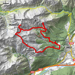
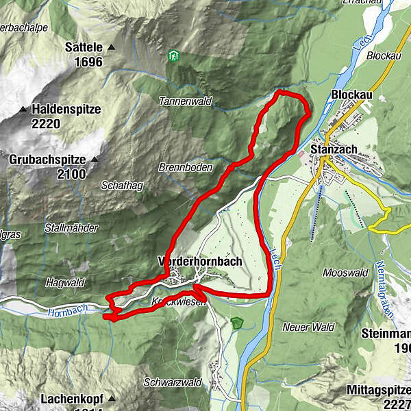
Vorderhornbach - 10km Hillclimb Baichlstein

Trailrunning
Datos del tour
10,09km
939
- 1.105m
192hm
184hm
01:00h
- Breve descripción
-
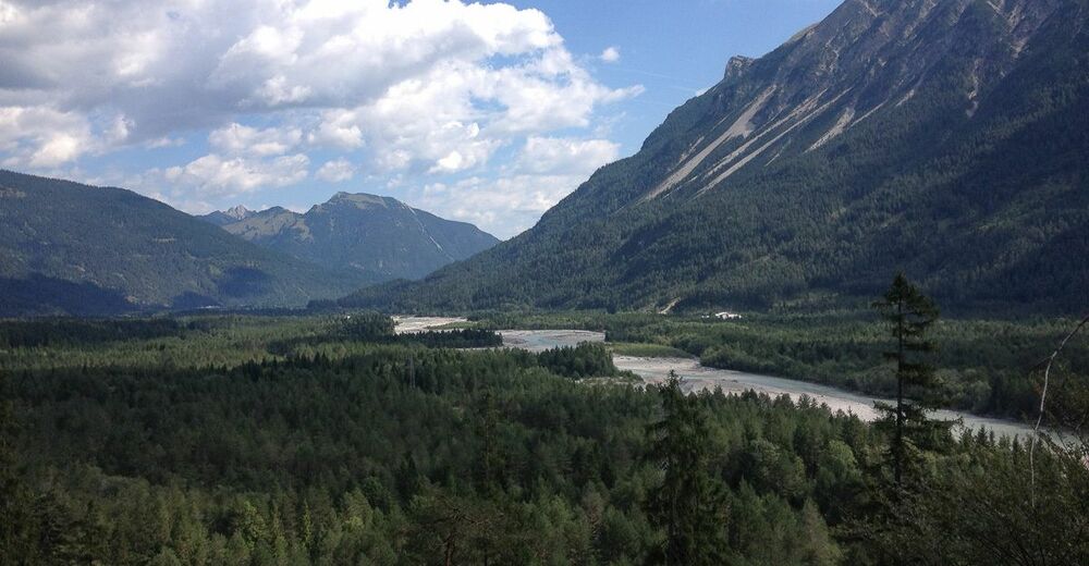
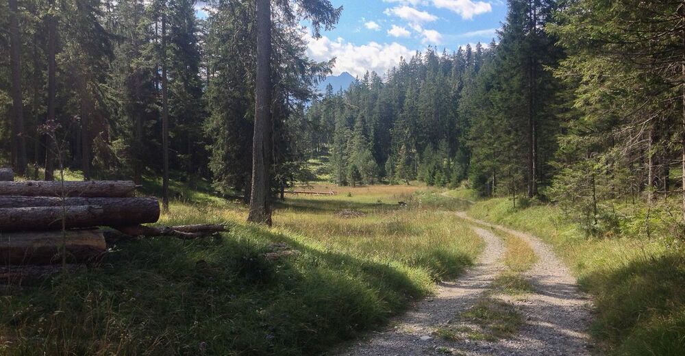
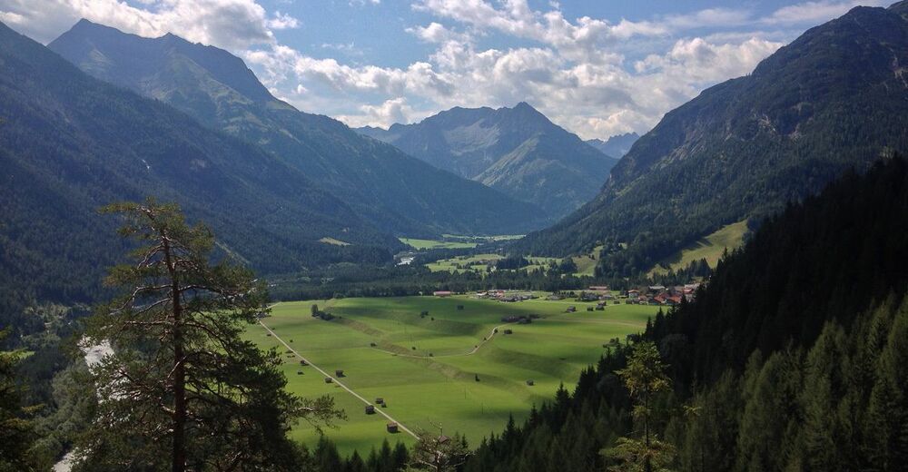
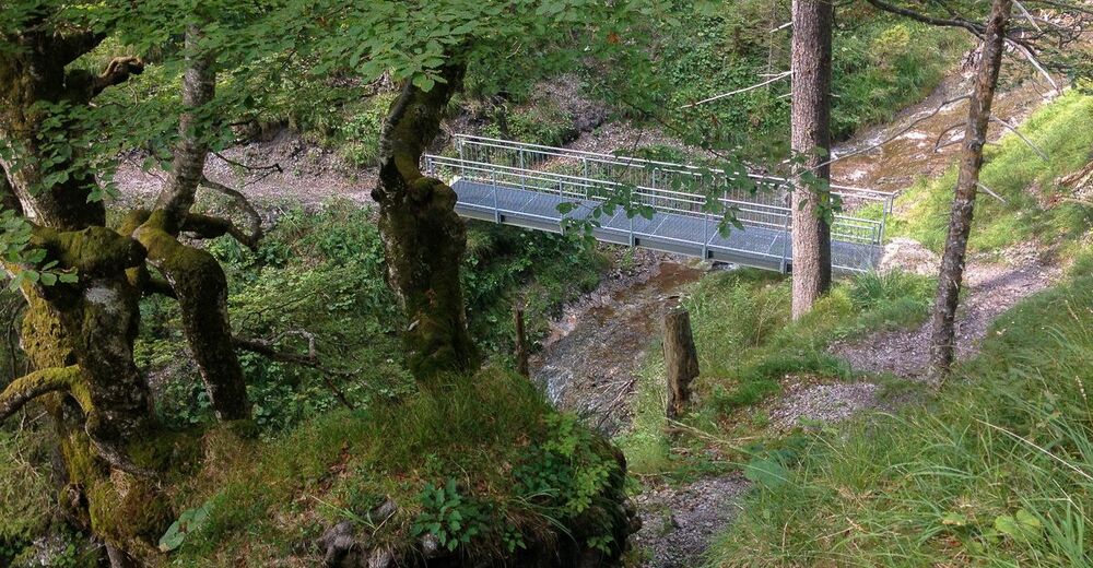
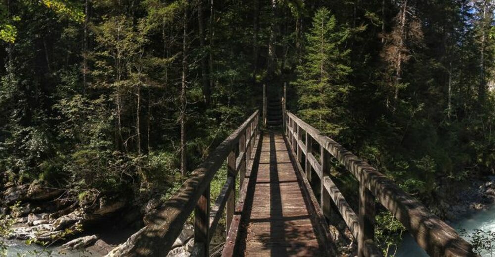
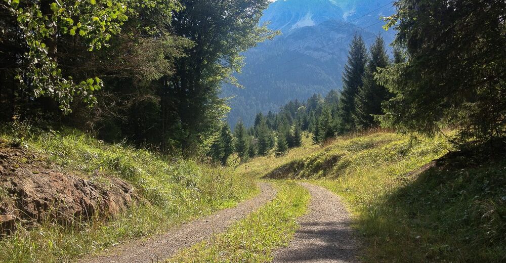
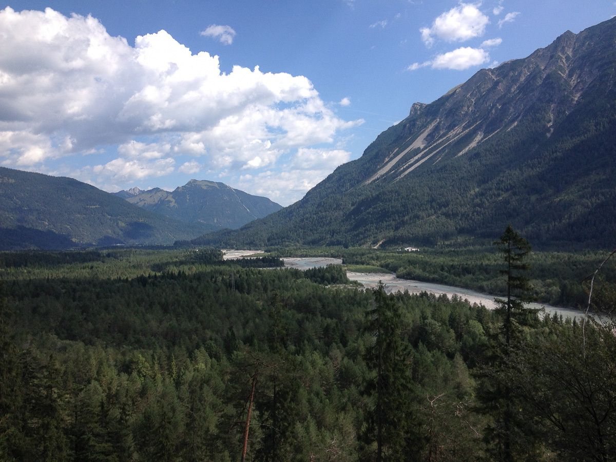
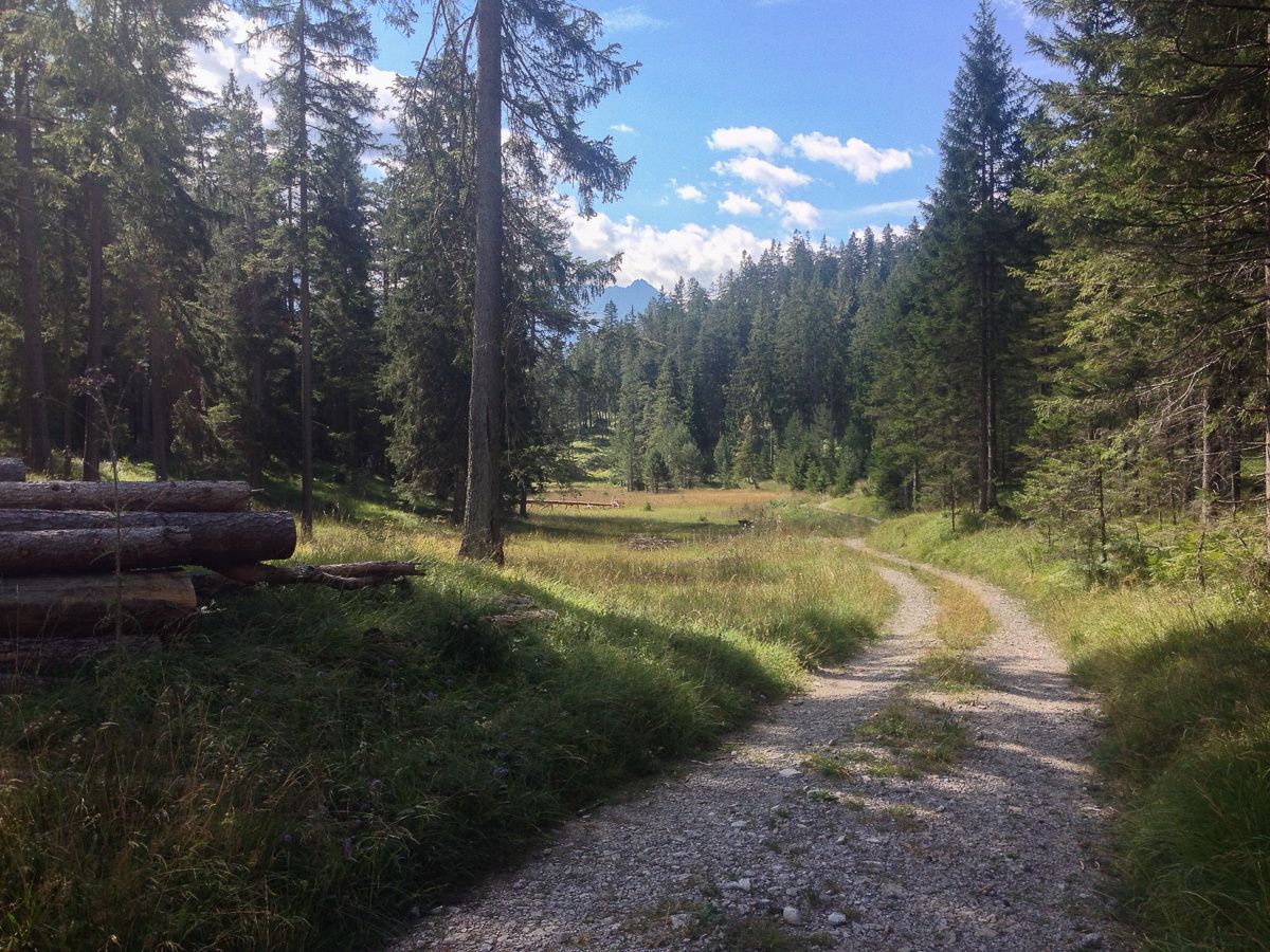
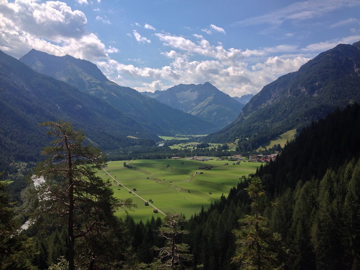
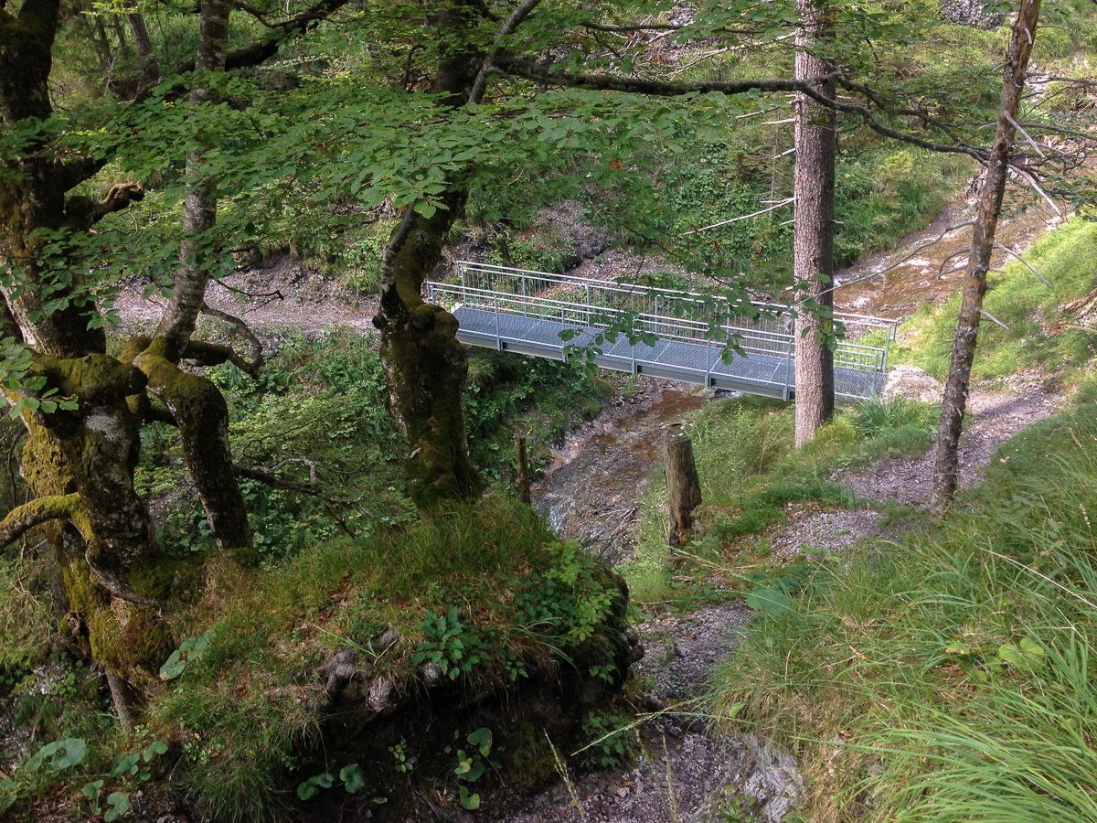
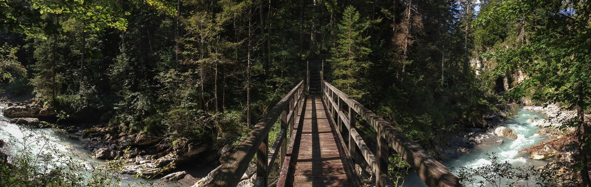
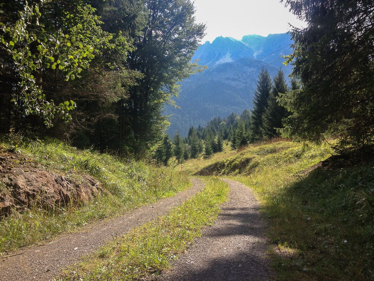
Abwechslungsreiche Bergstrecke, vorbei an einigen der schönsten Aussichtspunkten des Lechtals und traumhafter Natur.
- Dificultad
-
medio
- Valoración
-
- Punto de salida
-
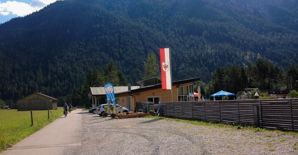
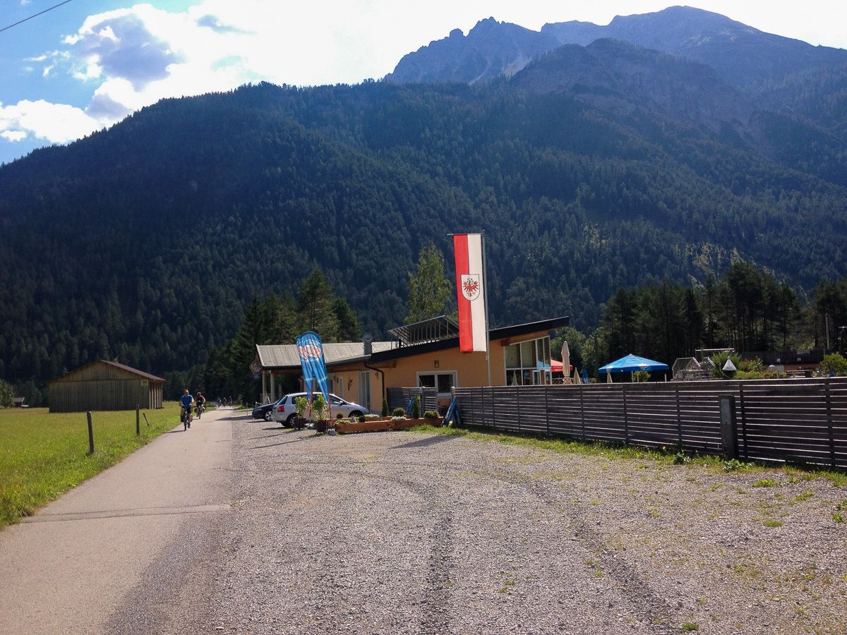
Vorderhornbach - Naturbadeteich Badino
- Ruta
-
Vorderhornbach (973 m)Wasserfallen5,5 kmVorderhornbach (973 m)9,6 km
- La mejor temporada
-
enefebmarabrmayjunjulagosepoctnovdic
- Punto álgido
- 1.105 m
- Fuente
- Stefan Ginther
GPS Downloads


Más circuitos por las regiones