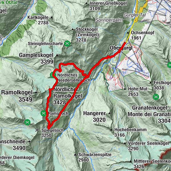
Manigenbachkogel mit Überschreitung des Ramolkogels, 3428 m

Excursión de alta montaña


- Breve descripción
-
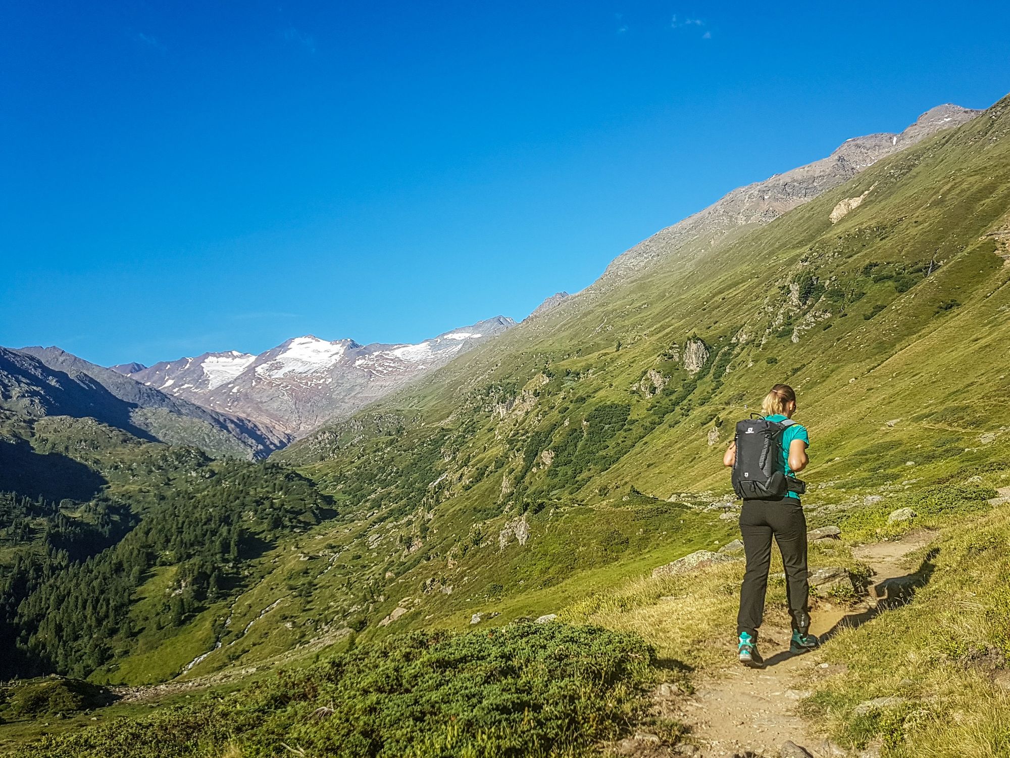
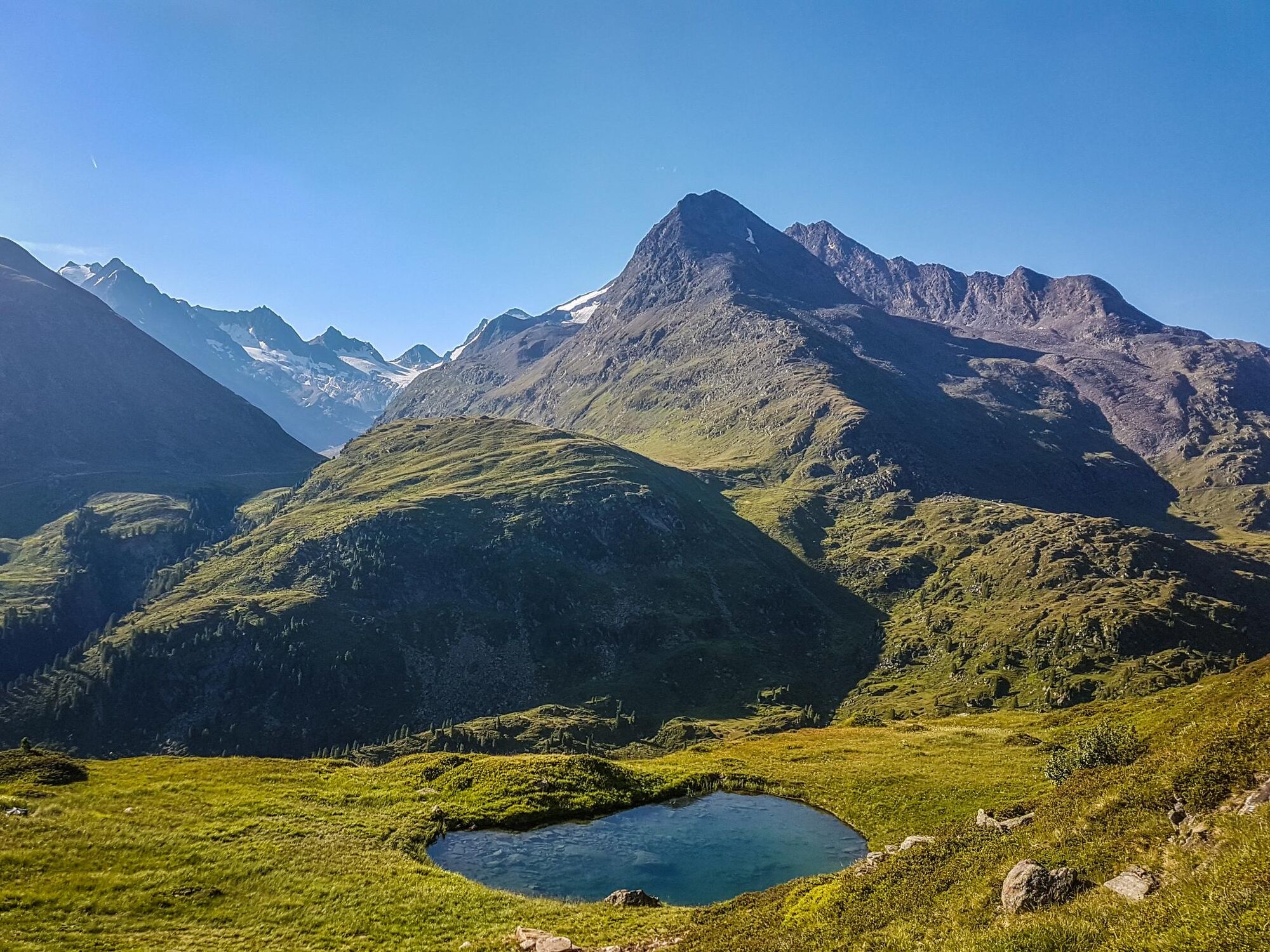
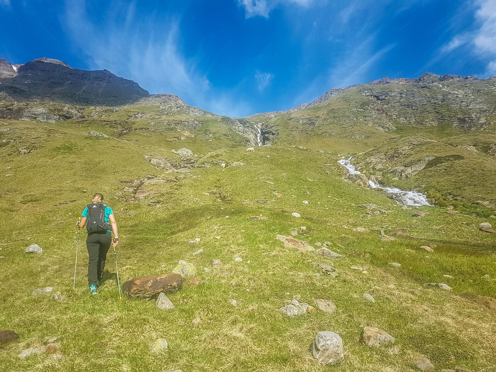
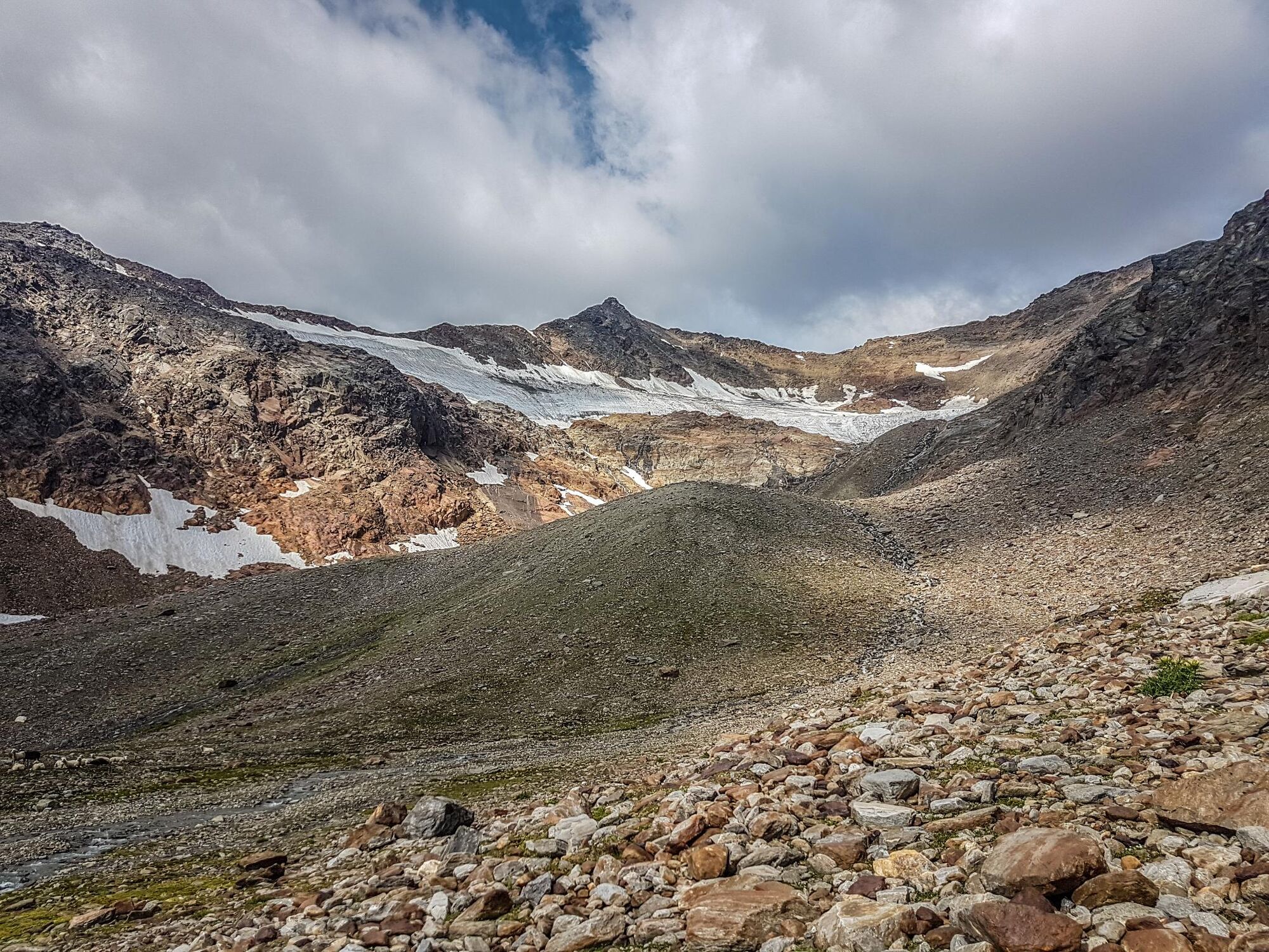
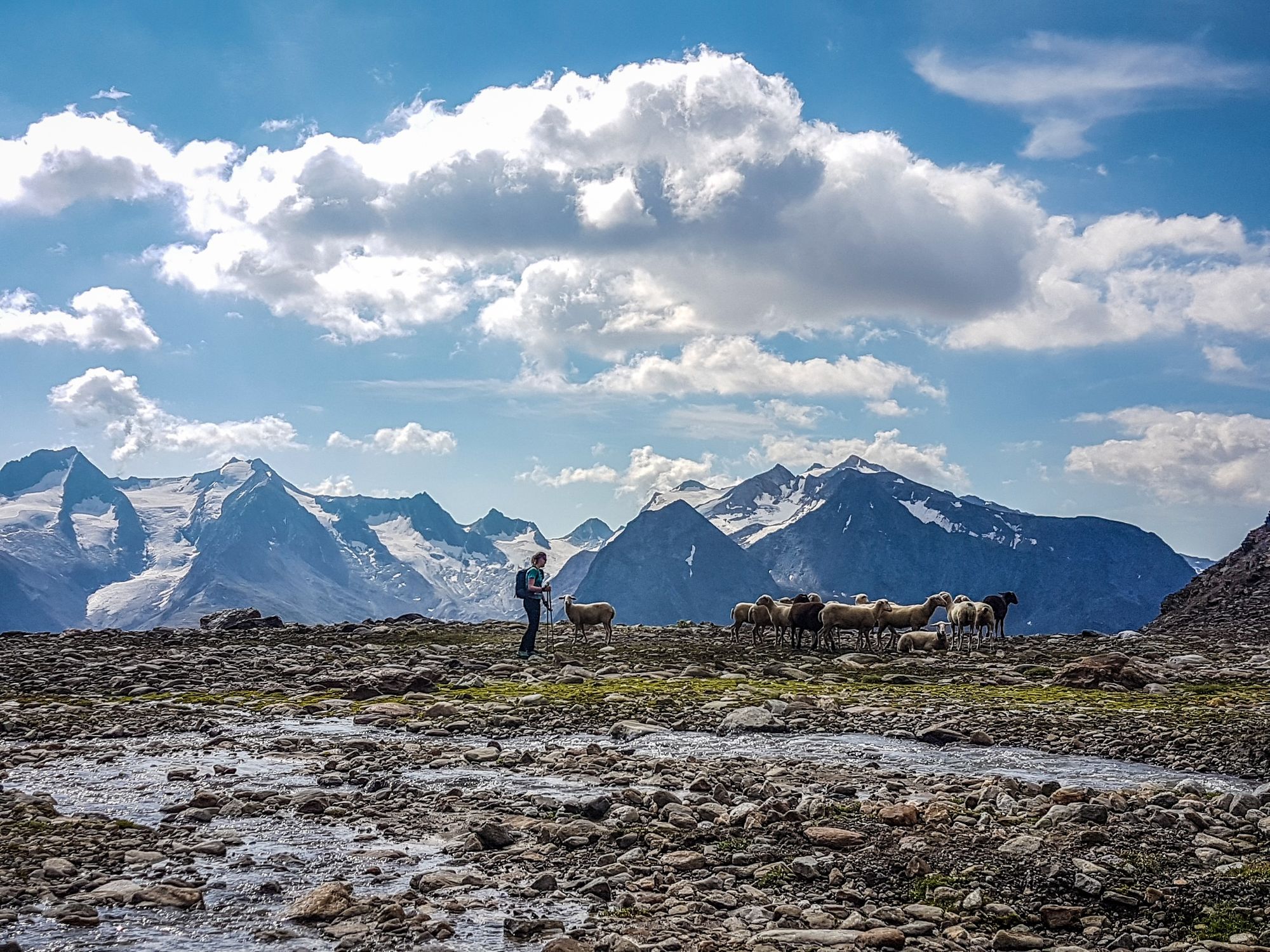
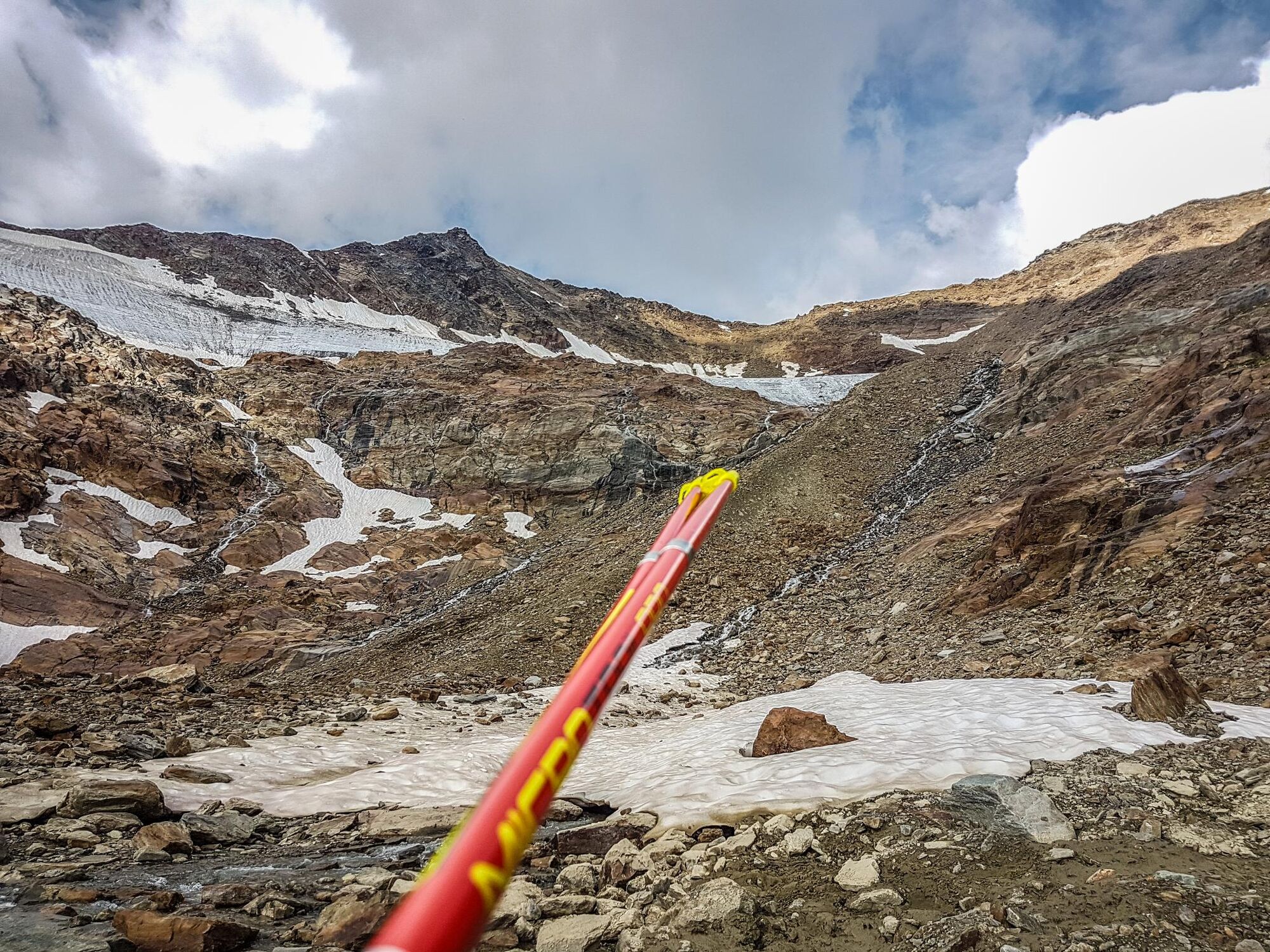
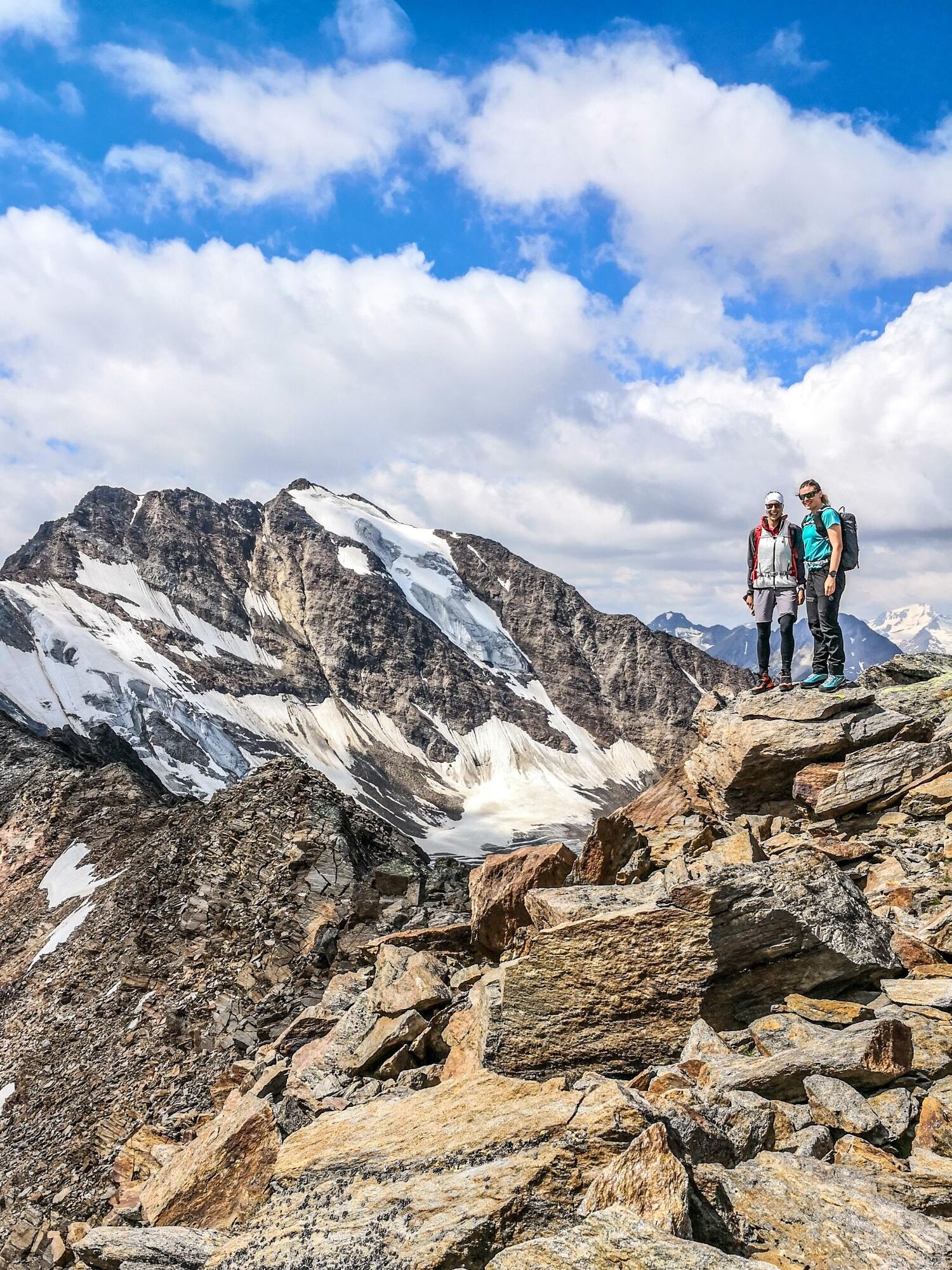
Den Manigenbachkogel und den Nördlichen Ramolkogel verbindet ein kaum begangener Grat. Ein echter Hochtouren-Geheimtipp im Ötztal!
- Dificultad
-
difícil
- Valoración
-
- Ruta
-
Obergurgl (1.907 m)0,3 kmHl. Johannes Nepomuk0,3 kmManigenbachkogel (3.314 m)7,2 kmRamolhaus11,5 kmMahdstuhllift19,0 kmHl. Johannes Nepomuk19,5 kmObergurgl (1.907 m)19,6 km
- La mejor temporada
-
enefebmarabrmayjunjulagosepoctnovdic
- Punto álgido
- 3.413 m
- Punto final
-
Obergurgl
- Perfil alto
-


- Autor
-
La gira Manigenbachkogel mit Überschreitung des Ramolkogels, 3428 m es utilizado por outdooractive.com proporcionado.
GPS Downloads


Información general
Punto de avituallamiento
Secreto
Vistas panorámicas
Más circuitos por las regiones
-
Meraner Land
89
-
Ötztal
90
-
Obergurgl - Hochgurgl
47