© Ausseerland - Theresa Schwaiger

© Ausseerland - Theresa Schwaiger

© Ausseerland - Theresa Schwaiger

© Ausseerland - Theresa Schwaiger

© Ausseerland - Theresa Schwaiger

© Ausseerland - Theresa Schwaiger

- Breve descripción
-
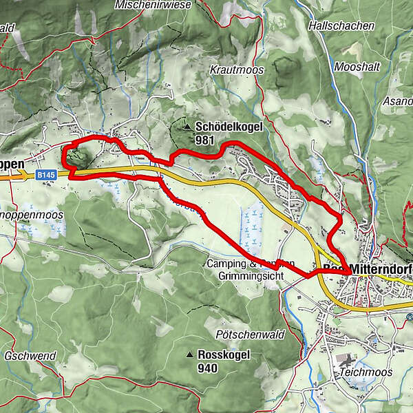
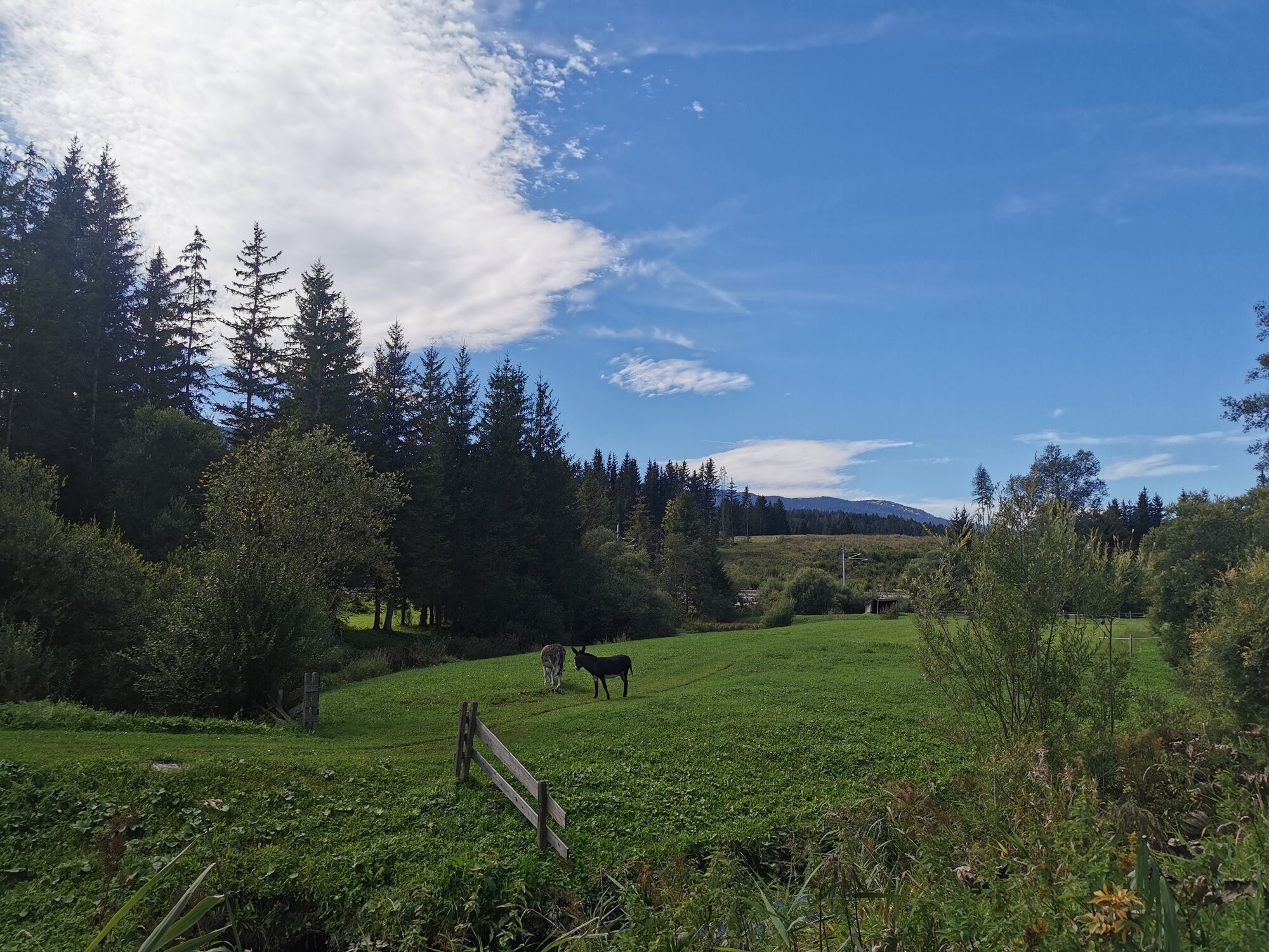
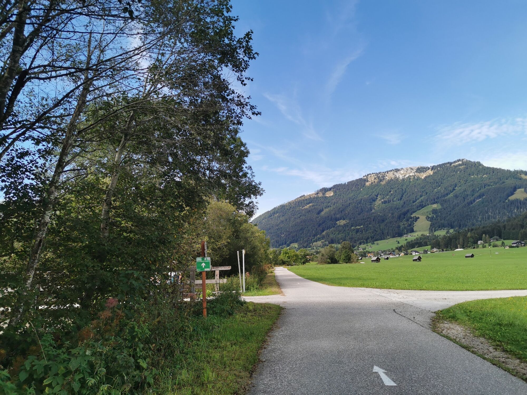
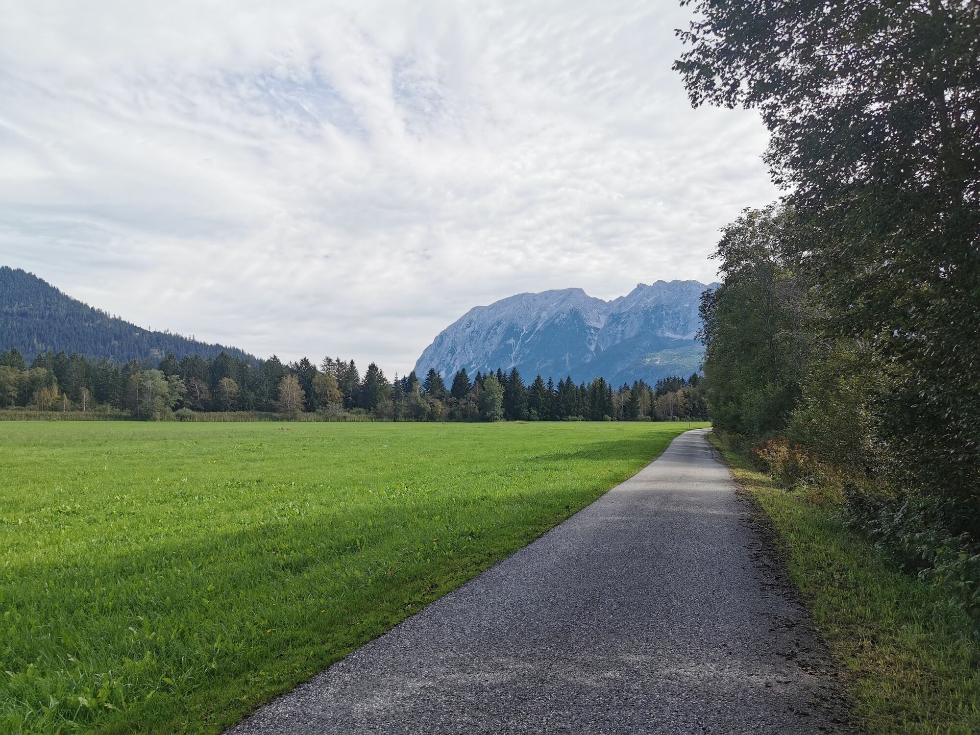
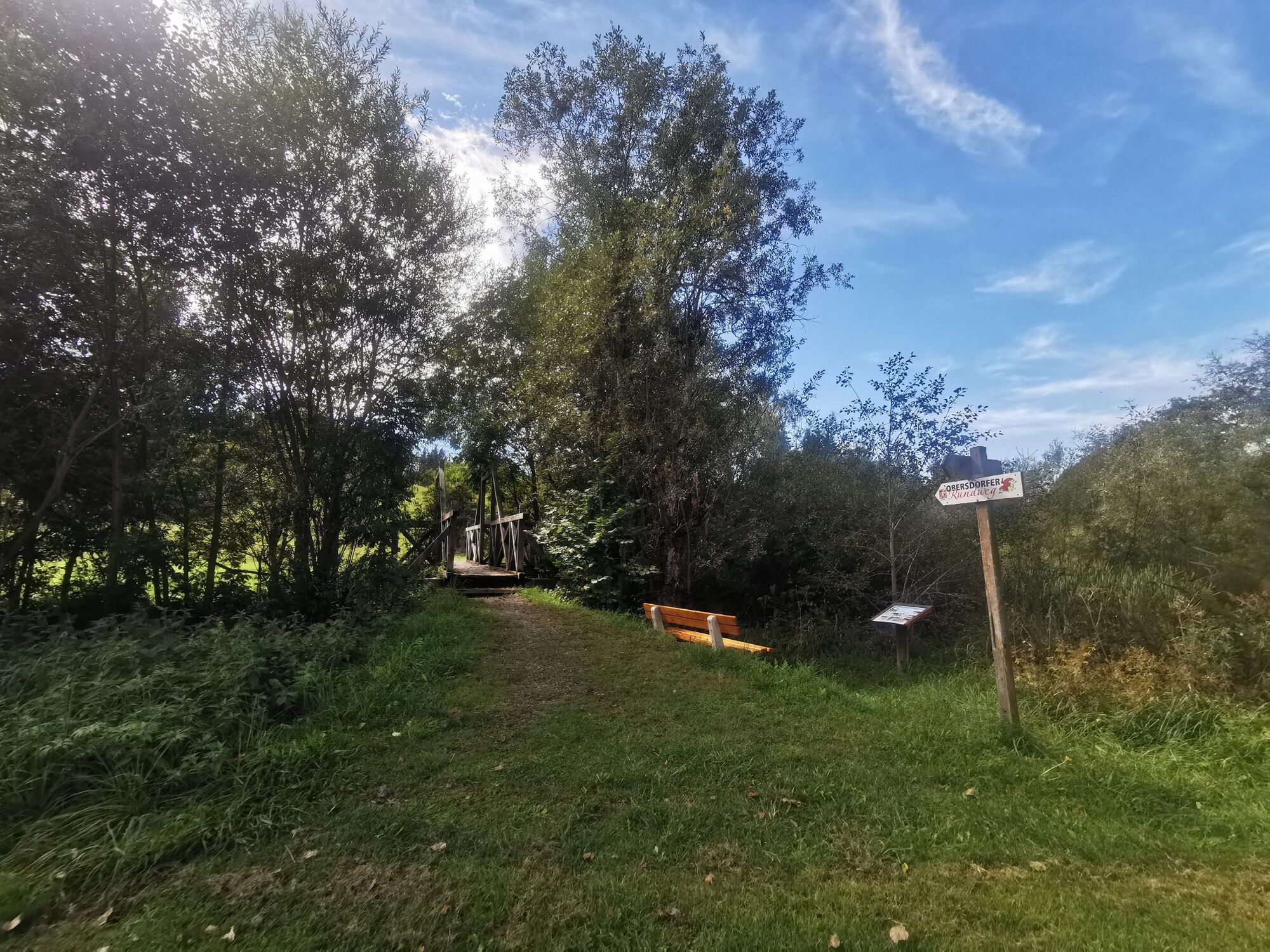
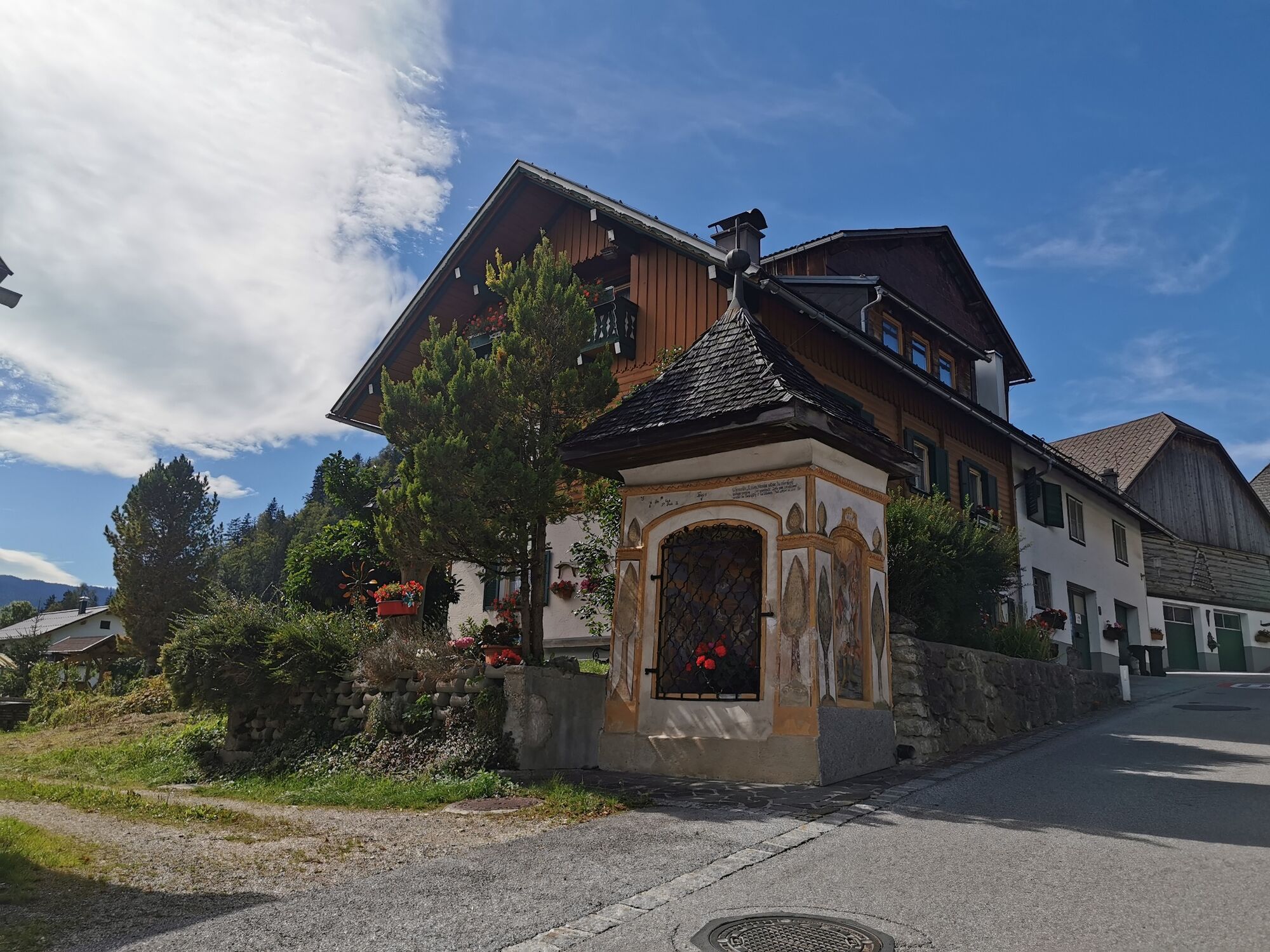
Geology, landscape forms and cultural history in the Bad Mitterndorf basin.The trail opens up the area between Bad Mitterndorf and Obersdorf.
- Dificultad
-
fácil
- Valoración
-
- Ruta
-
Bad MitterndorfSonnenalm2,1 kmGasthof zum Sandlweber4,0 kmObersdorf4,3 kmMelzen4,6 kmMaria Kumitz4,9 kmBad Mitterndorf9,4 km
- La mejor temporada
-
enefebmarabrmayjunjulagosepoctnovdic
- Punto álgido
- 878 m
- Punto final
-
is the starting point
- Perfil alto
-

- Autor
-
La gira Obersdorf circular route es utilizado por outdooractive.com proporcionado.
GPS Downloads


Información general
Punto de avituallamiento
Cultural/Histórico
Flora
Vistas panorámicas
Más circuitos por las regiones
-
Ausseerland - Salzkammergut
3382
-
Gröbminger Land
1190
-
Bad Mitterndorf
290