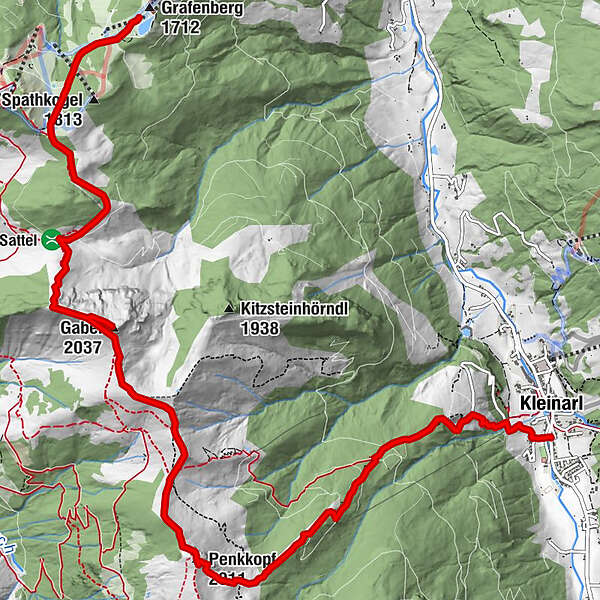
High-altitude hike: Grafenberg - Gabel - Penkkopf - Kleinarl

Senderismo


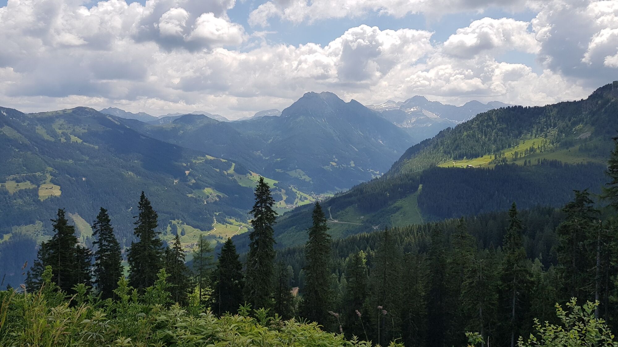
© Wagrain-Kleinarl Tourismus - Agnes Moser

© Wagrain-Kleinarl Tourismus - Agnes Moser


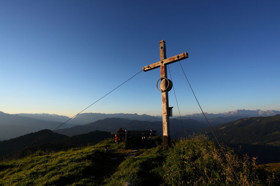
© Salzburger Sportwelt - Mike Groessinger

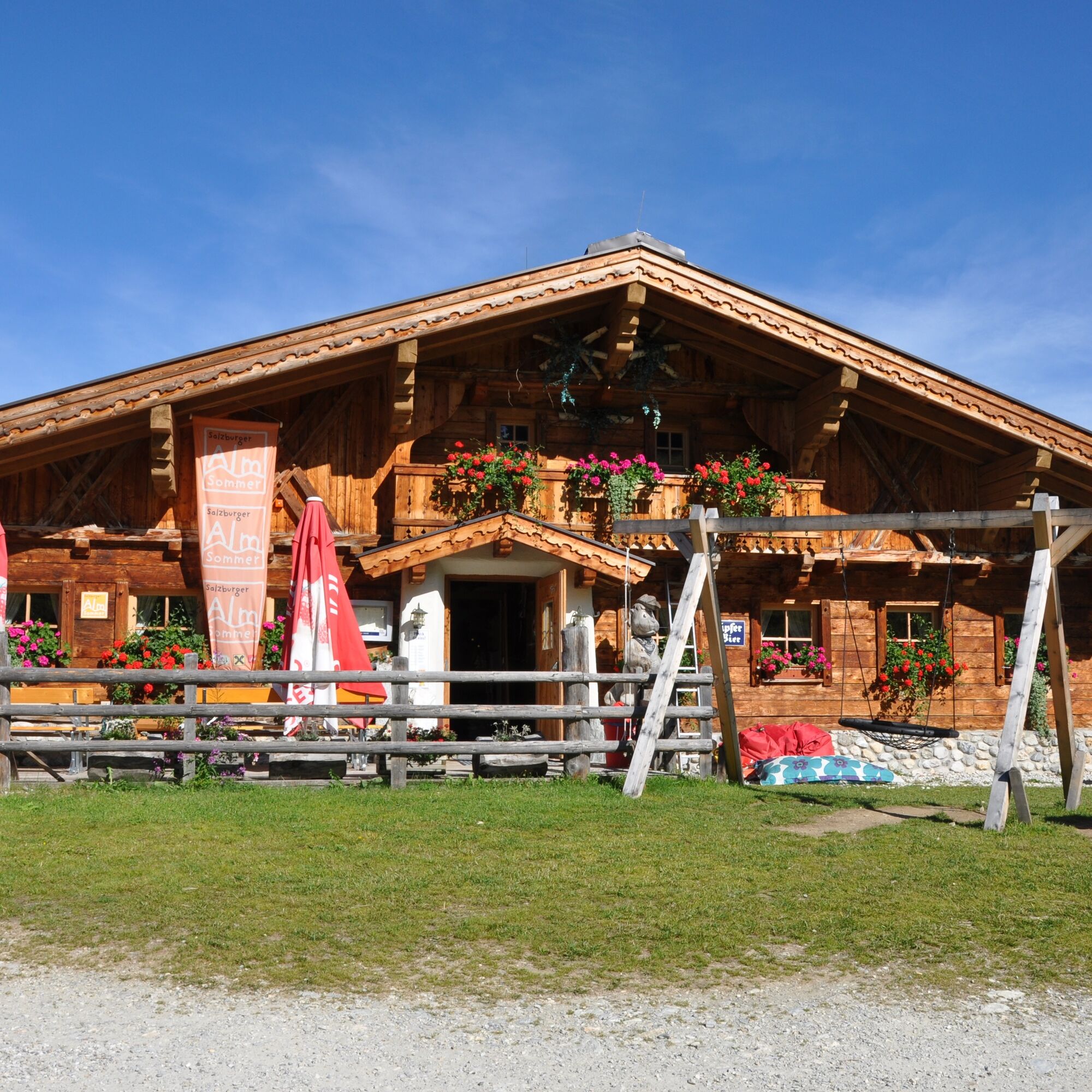
© Wagrain-Kleinarl Tourismus - Stefanie Ostler
- Breve descripción
-
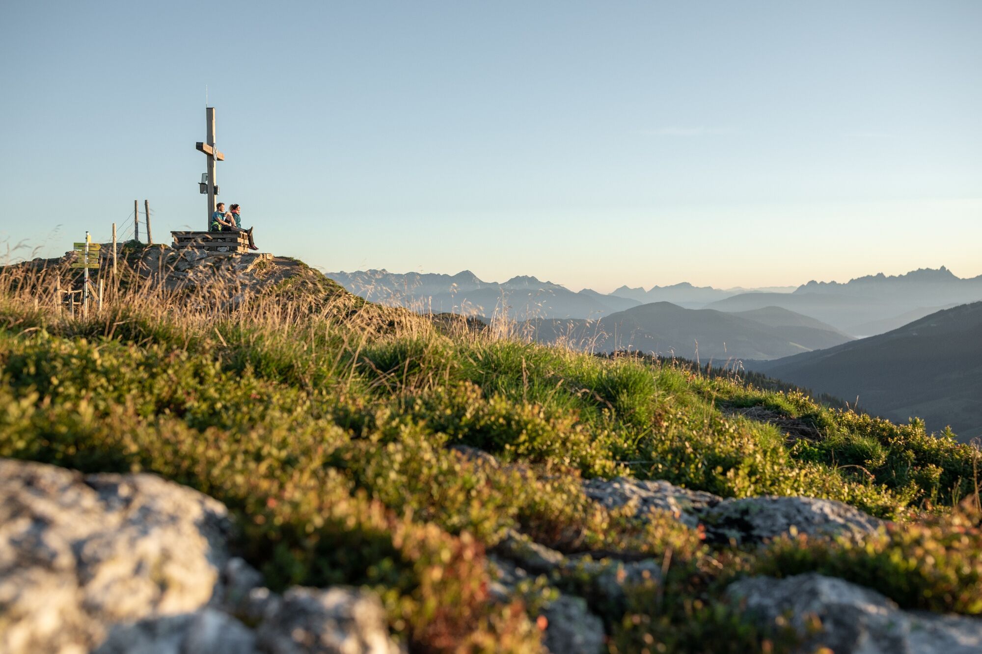
Panoramic high-altitude hike (with gondola ascent) from the Grafenberg mountain station over the summit of the Gabel and the Penkkopf, to the Kleinarler Hütte and on to Kleinarl.
- Dificultad
-
medio
- Valoración
-
- Ruta
-
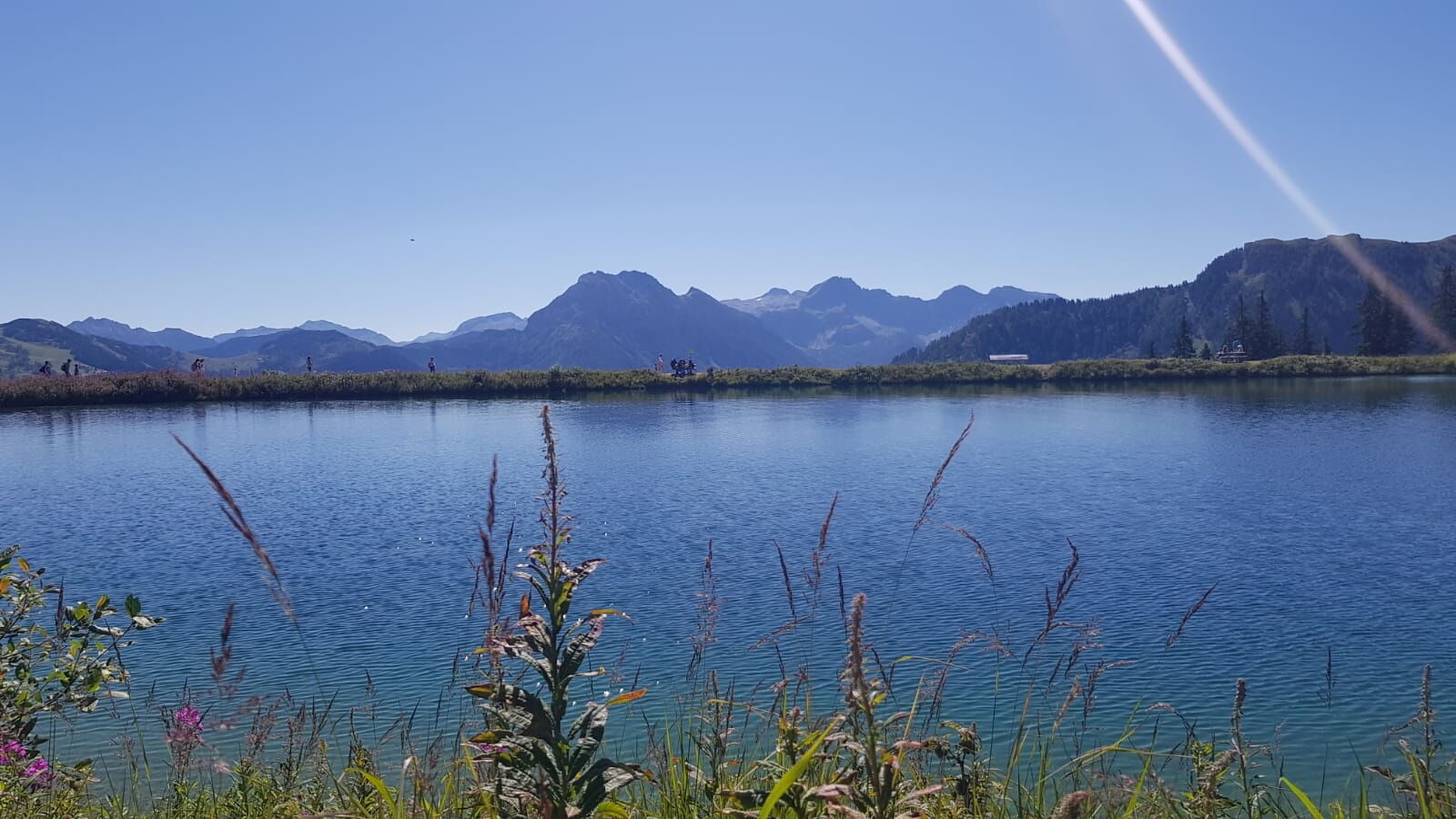
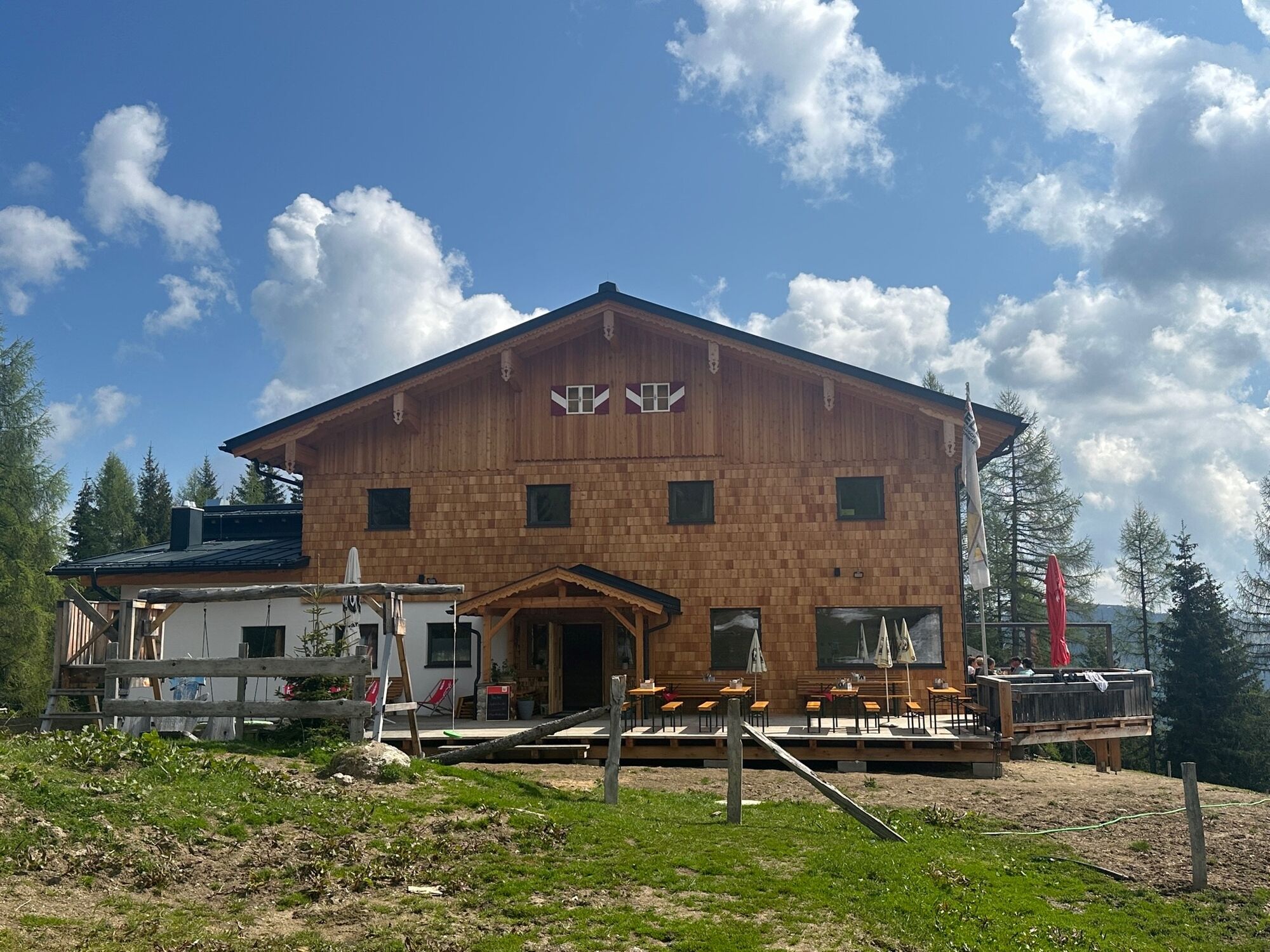
Gabel (2.037 m)4,1 kmPenkkopf (2.011 m)7,1 kmKleinarler Hütte8,3 kmKleinarl11,7 km
- La mejor temporada
-
enefebmarabrmayjunjulagosepoctnovdic
- Punto álgido
- 2.017 m
- Punto final
-
Kleinarl bus stop
- Perfil alto
-


- Autor
-
La gira High-altitude hike: Grafenberg - Gabel - Penkkopf - Kleinarl es utilizado por outdooractive.com proporcionado.
GPS Downloads


Información general
Punto de avituallamiento
Vistas panorámicas
Más circuitos por las regiones


