HWW-Hiking route: Hartberg-trail

Sendero temático

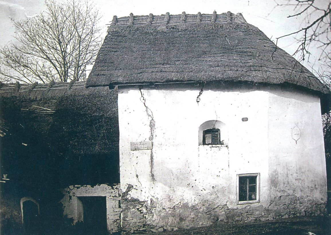
© Oststeiermark Tourismus - XKarin Hofer
- Breve descripción
-
This HWW hiking route is part of the Wechselland Historical Long-Distance Hiking Trail (HWW), which tells the story of Wechselland along more than 100 HWW stations. More information can be found at www.wechsel-wandern.at.
- Dificultad
-
medio
- Valoración
-
- Ruta
-
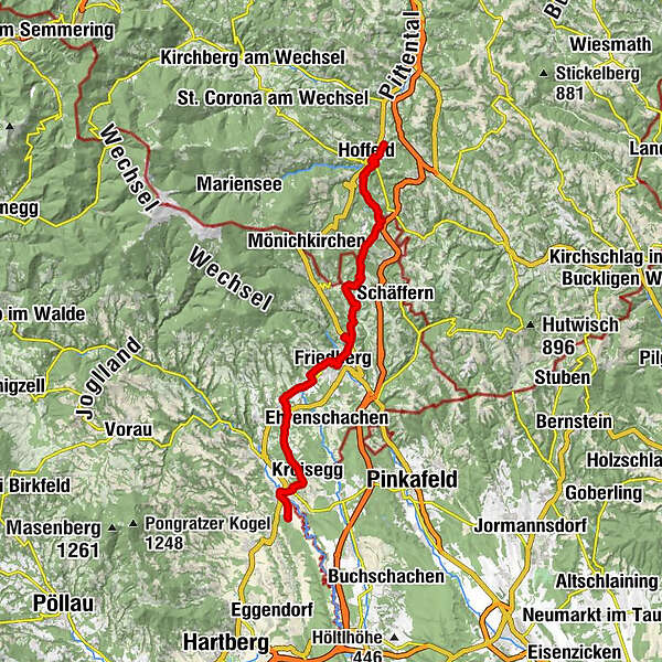
Aspang Markt1,2 kmHoffeld1,3 kmGasthaus Schuh7,3 kmSpital12,7 kmPinggau19,0 kmMaria Hasel19,2 kmBründlkapelle19,2 kmFriedhofskapelle20,1 kmPfarrkirche hl. Jakobus der Ältere20,3 kmFriedberg20,4 kmGasthaus Winkler23,6 kmStögersbach23,6 kmStögersbach Kapelle23,7 kmGasthof Jeitler23,8 kmDechantskirchen25,8 kmPfarrkirche hl. Stefan26,0 kmGasthof - Cafe "Waldhaus"27,1 kmKroisbach27,6 kmOrtskapelle27,6 kmKroisegg30,6 kmNeustift an der Lafnitz32,3 kmRabenbräu32,5 kmLafnitz32,8 km
- La mejor temporada
-
enefebmarabrmayjunjulagosepoctnovdic
- Punto álgido
- 881 m
- Punto final
-
St. Ilgen
- Perfil alto
-

-

-
AutorLa gira HWW-Hiking route: Hartberg-trail es utilizado por outdooractive.com proporcionado.
GPS Downloads


Información general
Cultural/Histórico
Más circuitos por las regiones
-
Wiener Alpen
3035
-
Kräuterregion Wechselland
1080
-
Friedberg
237


 Welt")
