
© Grünmetropole e.V. - Dominik Ketz

© Visit Zuid Limburg

© Grünmetropole e.V. - Dominik Ketz

© Grünmetropole e.V. - Dominik Ketz

© Grünmetropole e.V. - Dominik Ketz

© Grünmetropole e.V. - Dominik Ketz

© Grünmetropole e.V. - Dominik Ketz

© Grünmetropole e.V. - Dominik Ketz

© Grünmetropole e.V. - Dominik Ketz

© Grünmetropole e.V. - Dominik Ketz

- Breve descripción
-
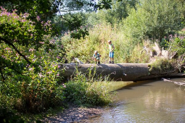
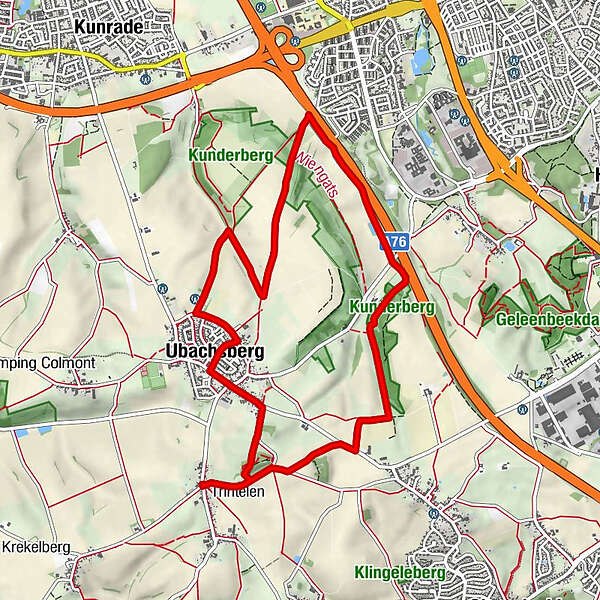
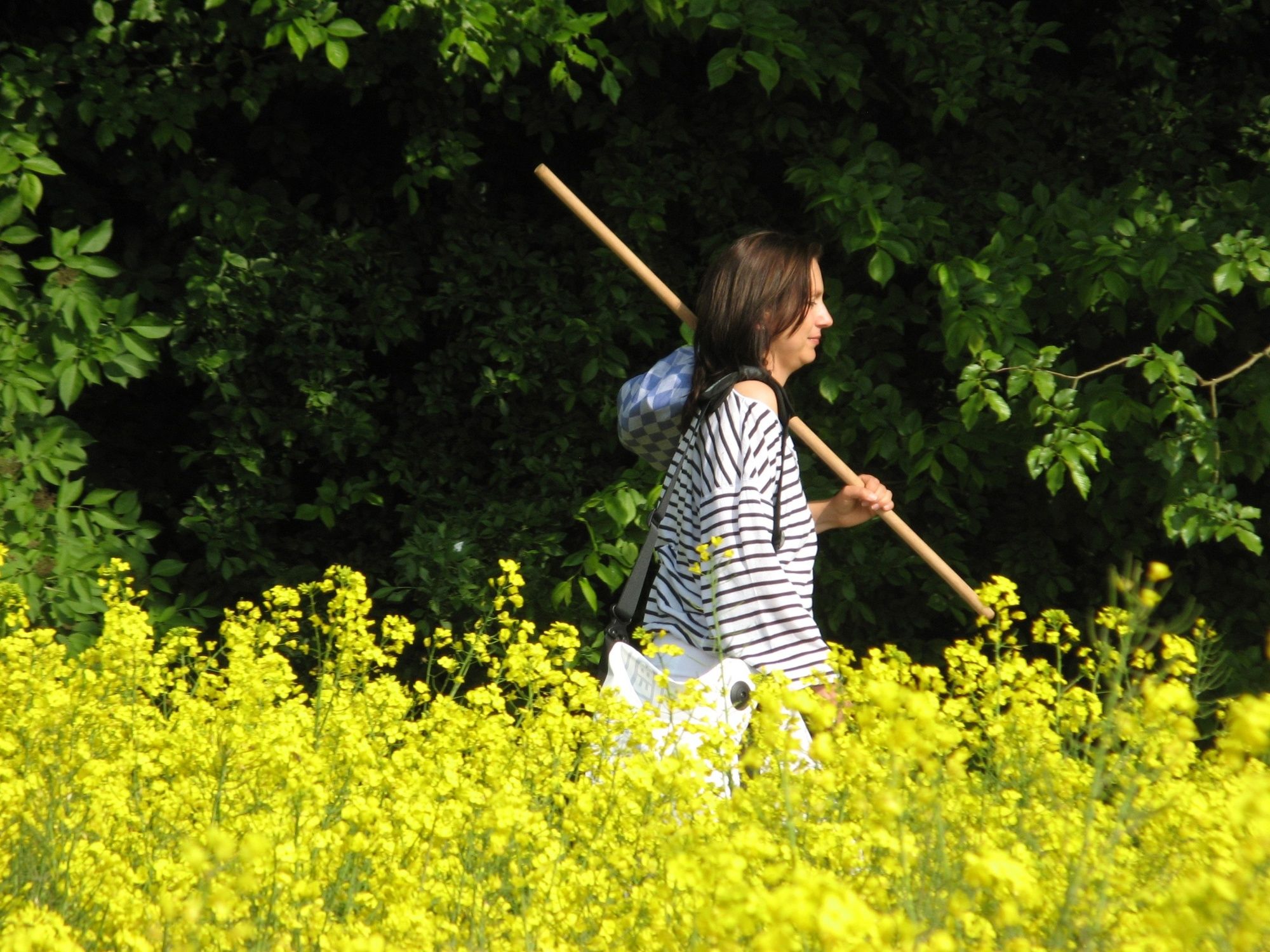
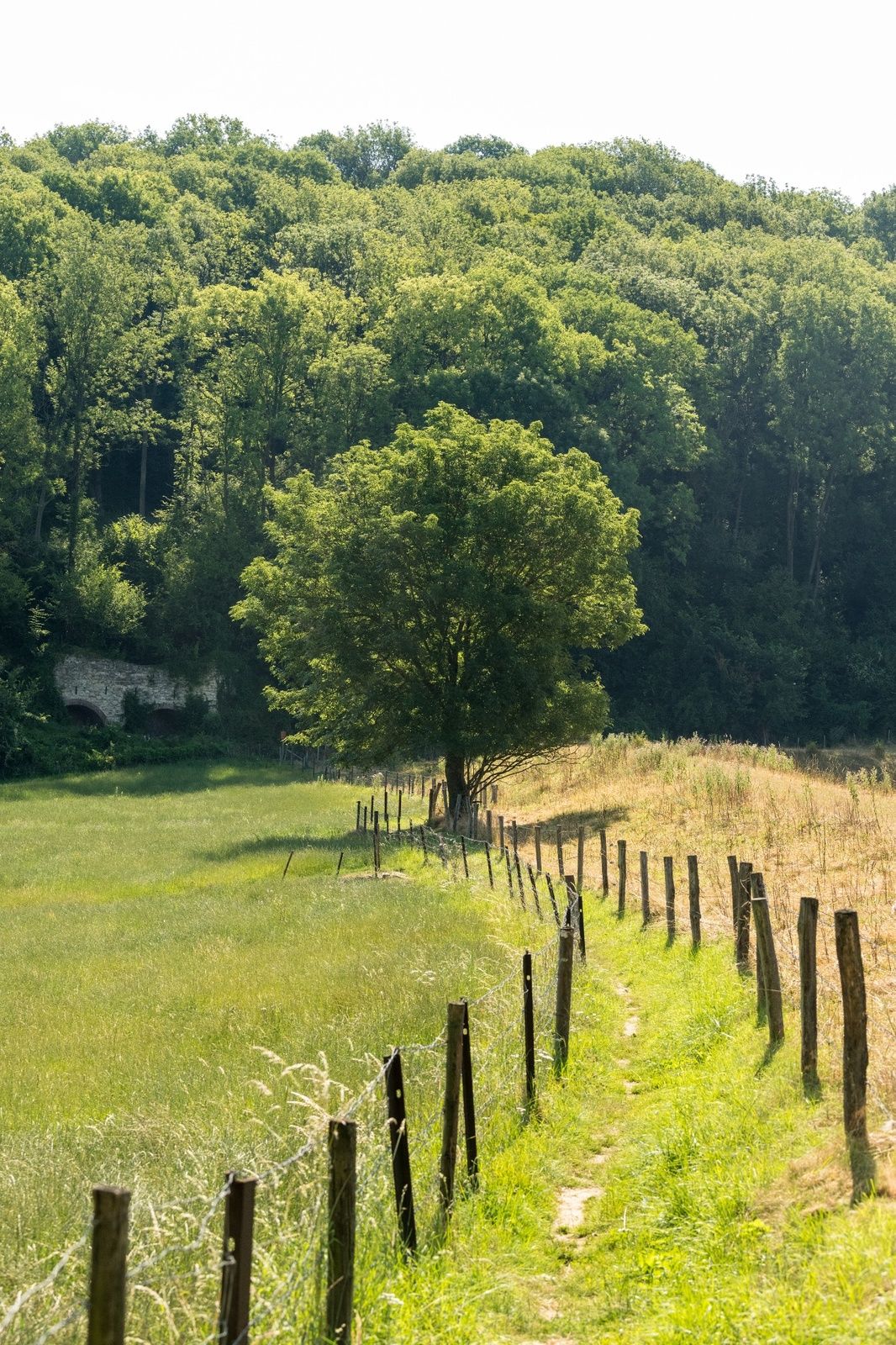
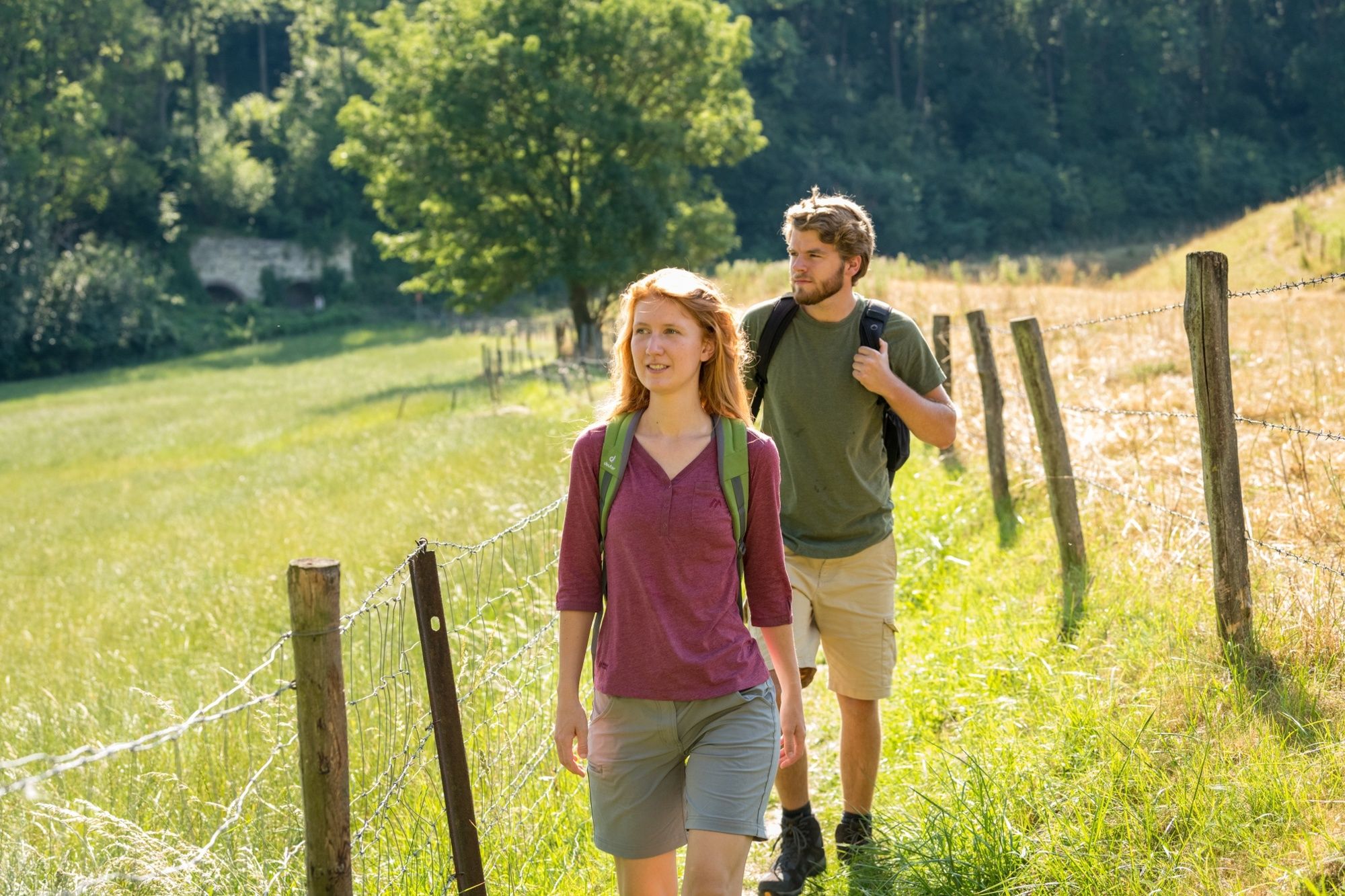
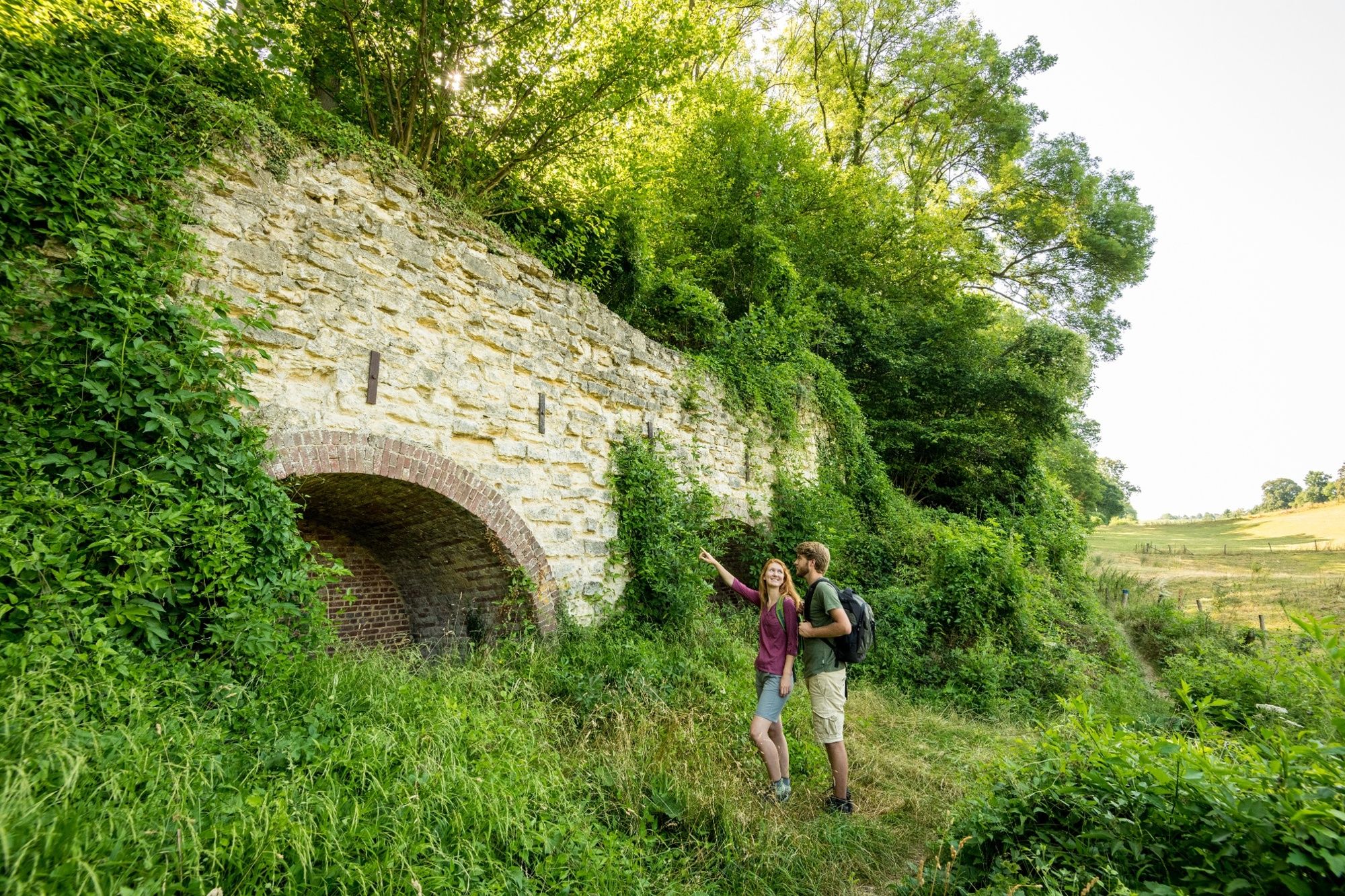
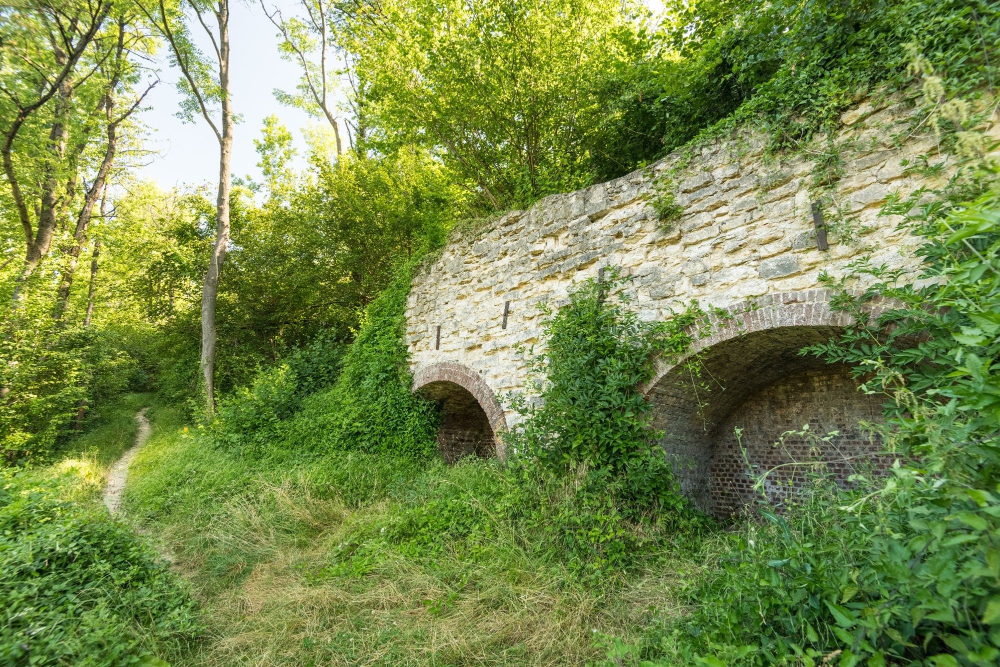
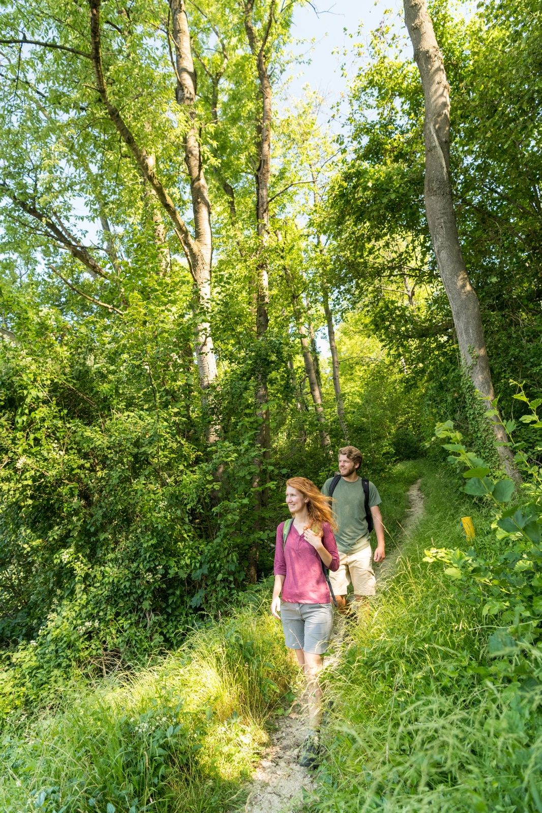
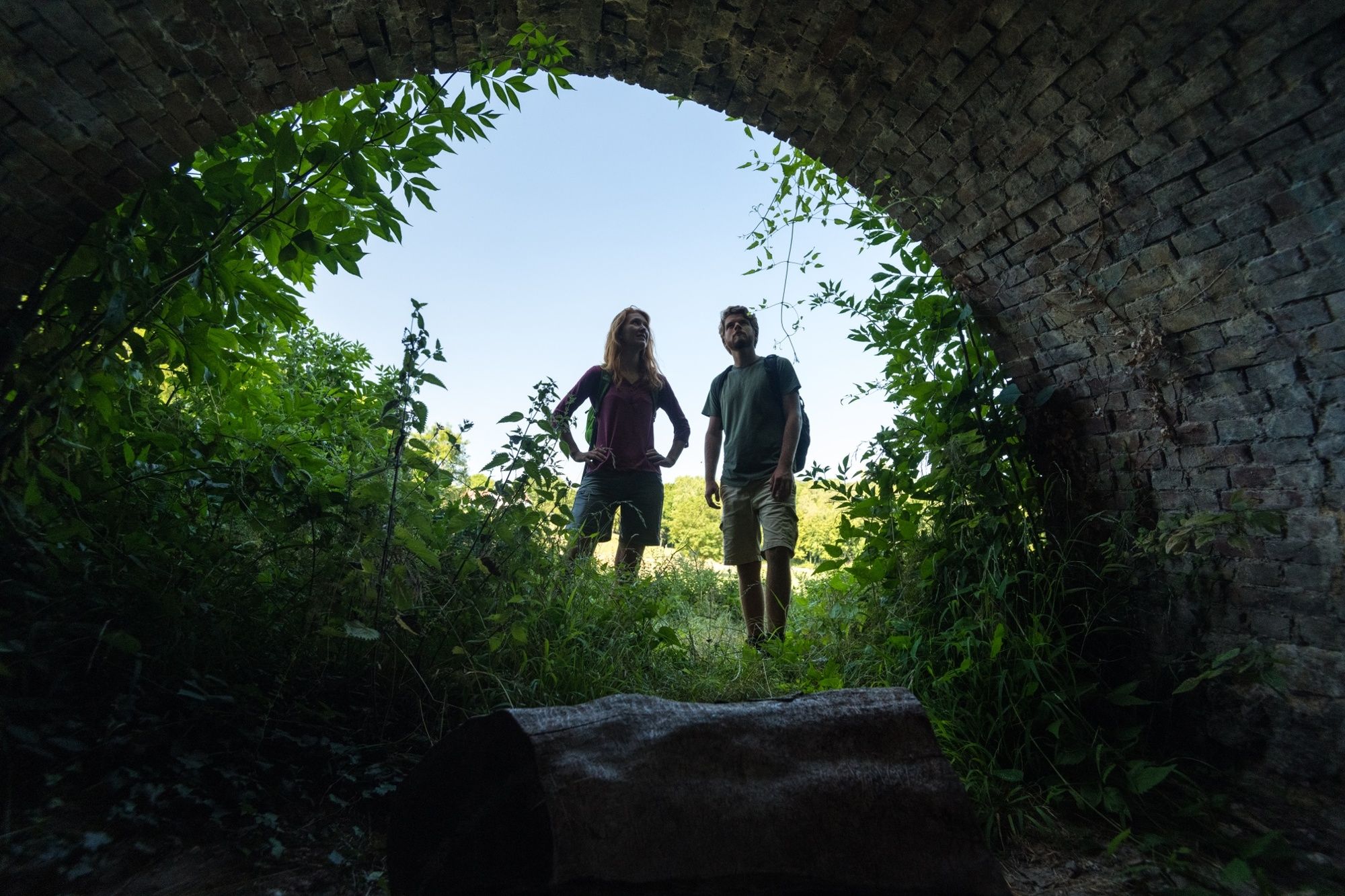
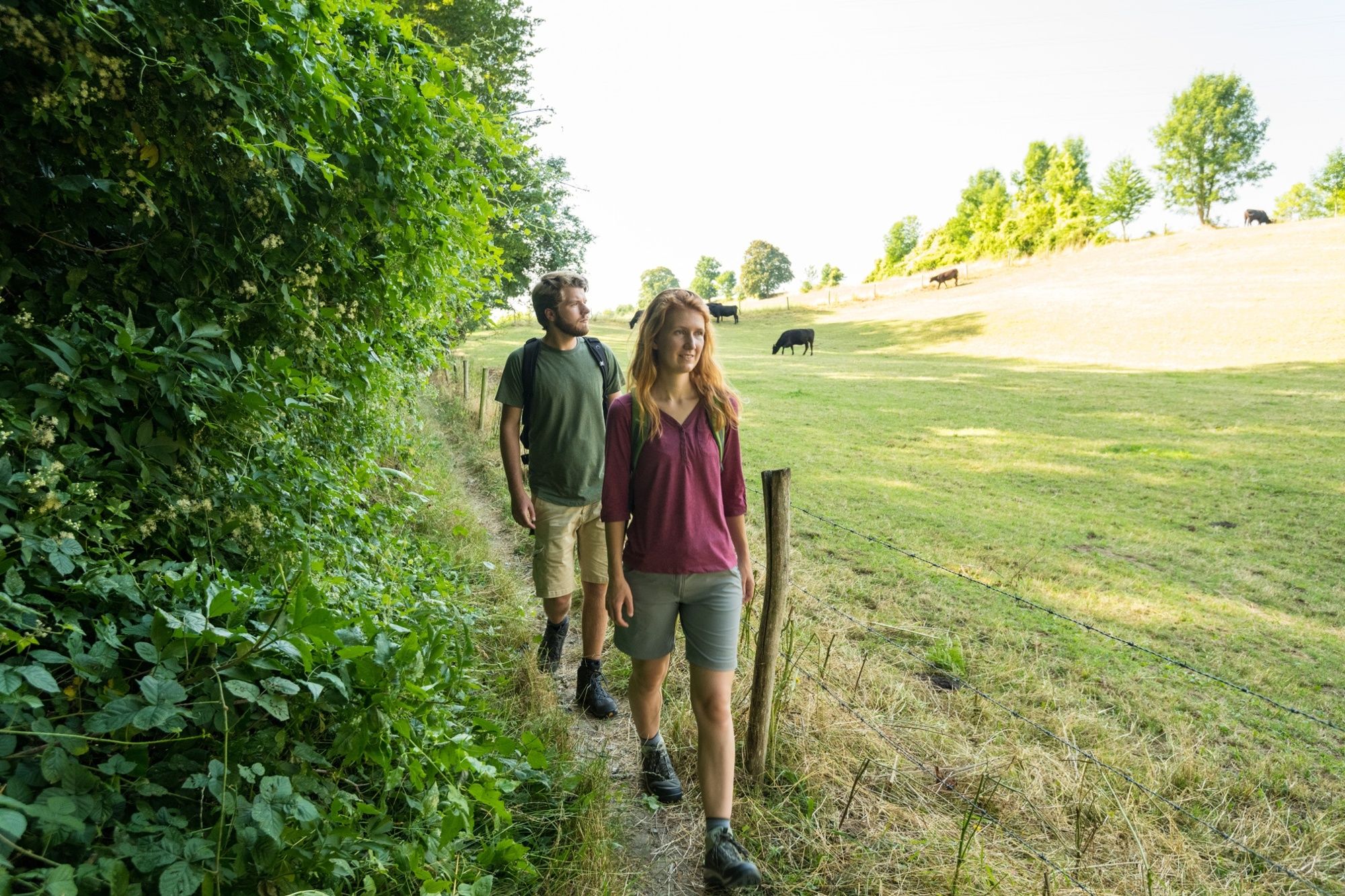
Just outside Ubachsberg you will find the hill country through which this challenging 10 km hiking trail is mapped out. On the way you will come across what is, perhaps, the most beautiful view in South Limburg!
- Dificultad
-
medio
- Valoración
-
- Ruta
-
De Bernardushoeve0,0 kmMingersborg0,0 kmVrouwenheide0,6 kmLe Montagnard1,4 kmSint-Bernarduskerk1,5 kmUbachsberg1,7 kmHeerlen5,1 kmDe Bernardushoeve9,7 kmMingersborg9,8 km
- La mejor temporada
-
enefebmarabrmayjunjulagosepoctnovdic
- Punto álgido
- 208 m
- Punto final
-
Eyserweg 25, 6287 ND Eys
- Perfil alto
-
 © outdooractive.com
- Autor
-
La gira Voerendaal Lime Kiln Trail V13 es utilizado por outdooractive.com proporcionado.
GPS Downloads


Información general
Flora
Fauna
Vistas panorámicas
Más circuitos por las regiones
-
Heinsberger Land
89
-
Heerlen
48