


- Breve descripción
-
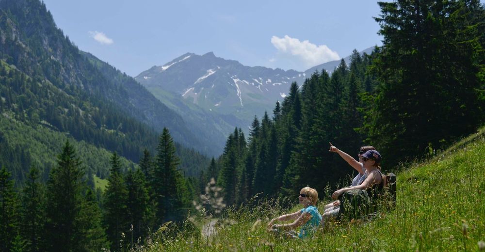
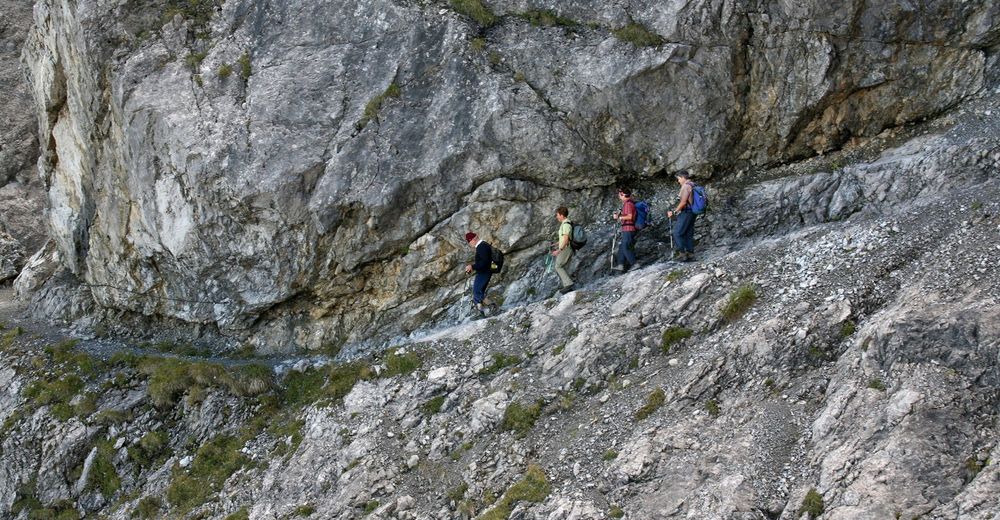
From the Pfälzer hut, the Via Alpina follows the southern Rätikon high-altitude trail to the Carschina cabin: a lovely stretch of the trail passing underneath limestone walls and along seas of flowers.
- Dificultad
-
difícil
- Valoración
-
- Ruta
-
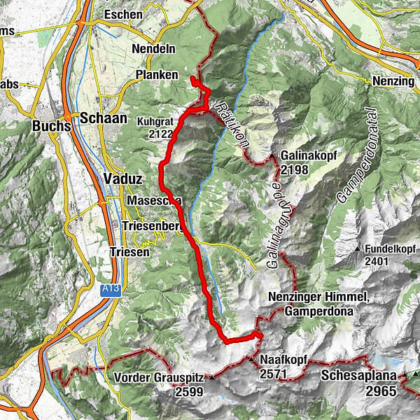
Gafadurahütte0,0 kmGarsellikopf (2.104 m)4,1 kmKuhgrat (2.122 m)4,8 kmSilum10,2 kmWisli12,8 kmSteg13,1 kmPfälzerhütte20,8 km
- La mejor temporada
-
enefebmarabrmayjunjulagosepoctnovdic
- Punto álgido
- 2.111 m
- Punto final
-
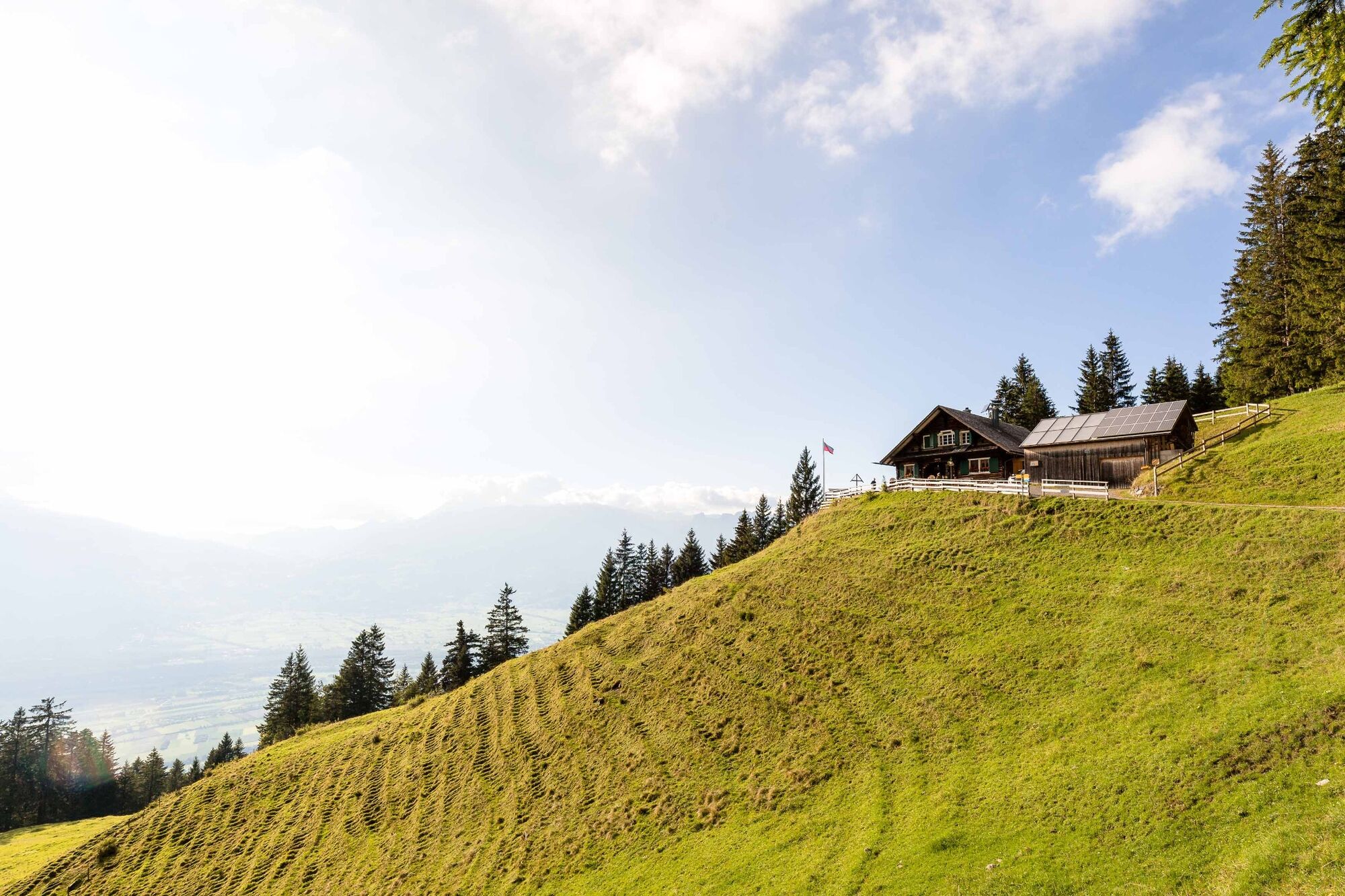
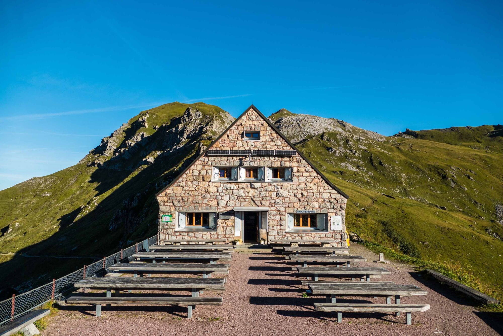
Pfälzerhütte
- Perfil alto
-
 © outdooractive.com


-

-
AutorLa gira Via Alpina es utilizado por outdooractive.com proporcionado.
GPS Downloads


Información general
Punto de avituallamiento
Vistas panorámicas
Más circuitos por las regiones
-
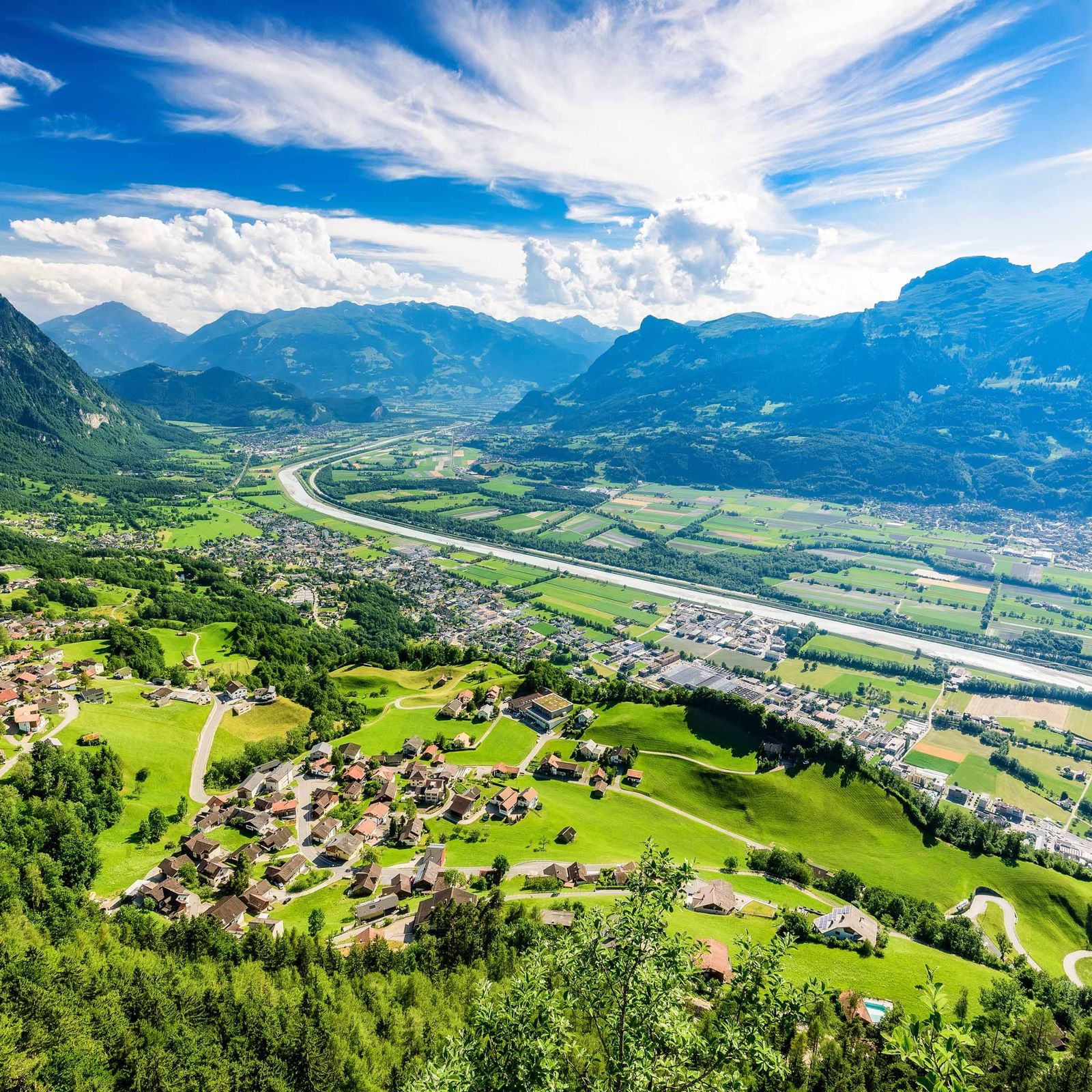
Heidiland
2208
-
Liechtenstein
1290
-
Triesenberg
229


