© Turizem Radovljica - Kaja Beton
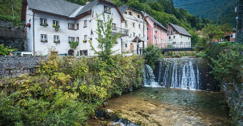
© Turizem Radovljica - Jošt Gantar
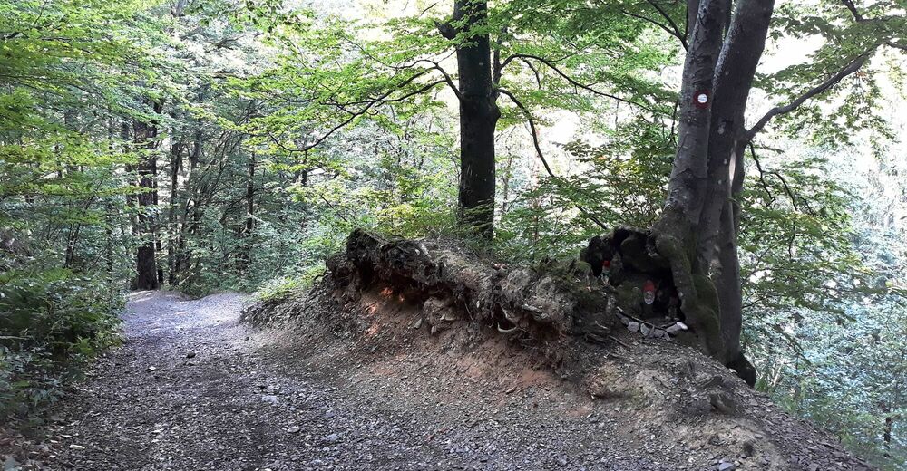
© Turizem Radovljica - Kaja Beton
© Turizem Radovljica - Kaja Beton

- Breve descripción
-
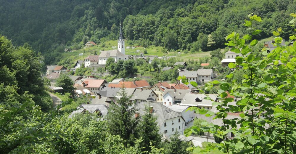
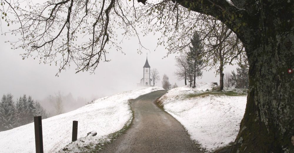
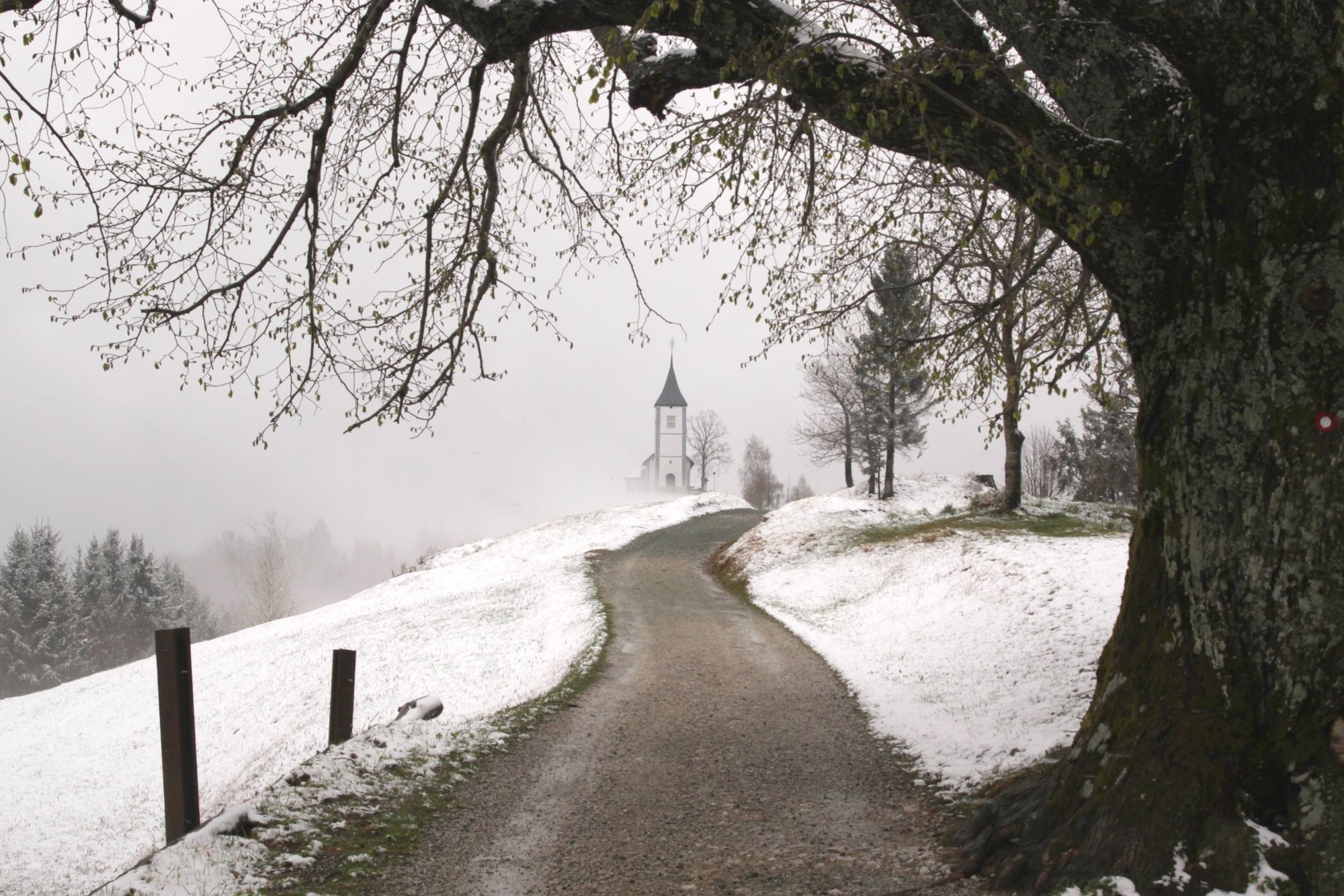
Jamnik is one of the most inspiring and easy accessible viewpoints in Gorenjska region and, with its church, it is also one of the most photographed spots in Slovenia.
- Dificultad
-
medio
- Valoración
-
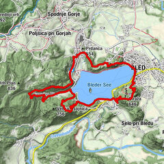
- Ruta
-
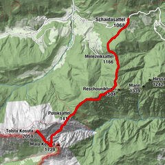
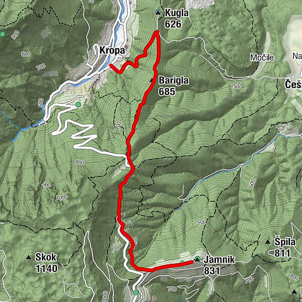
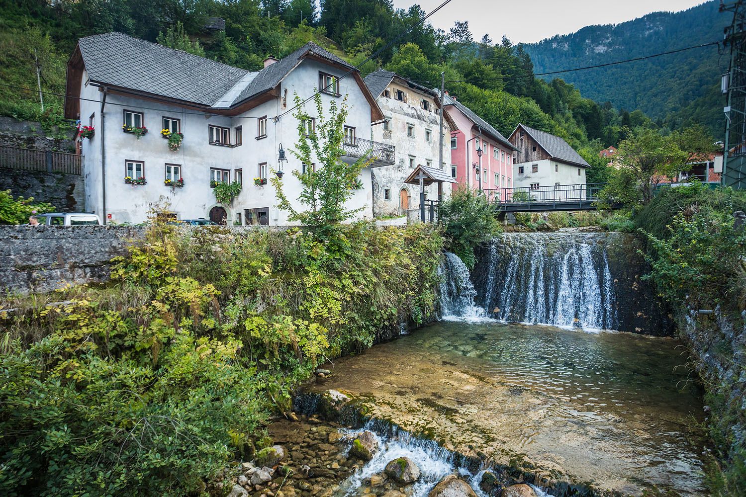
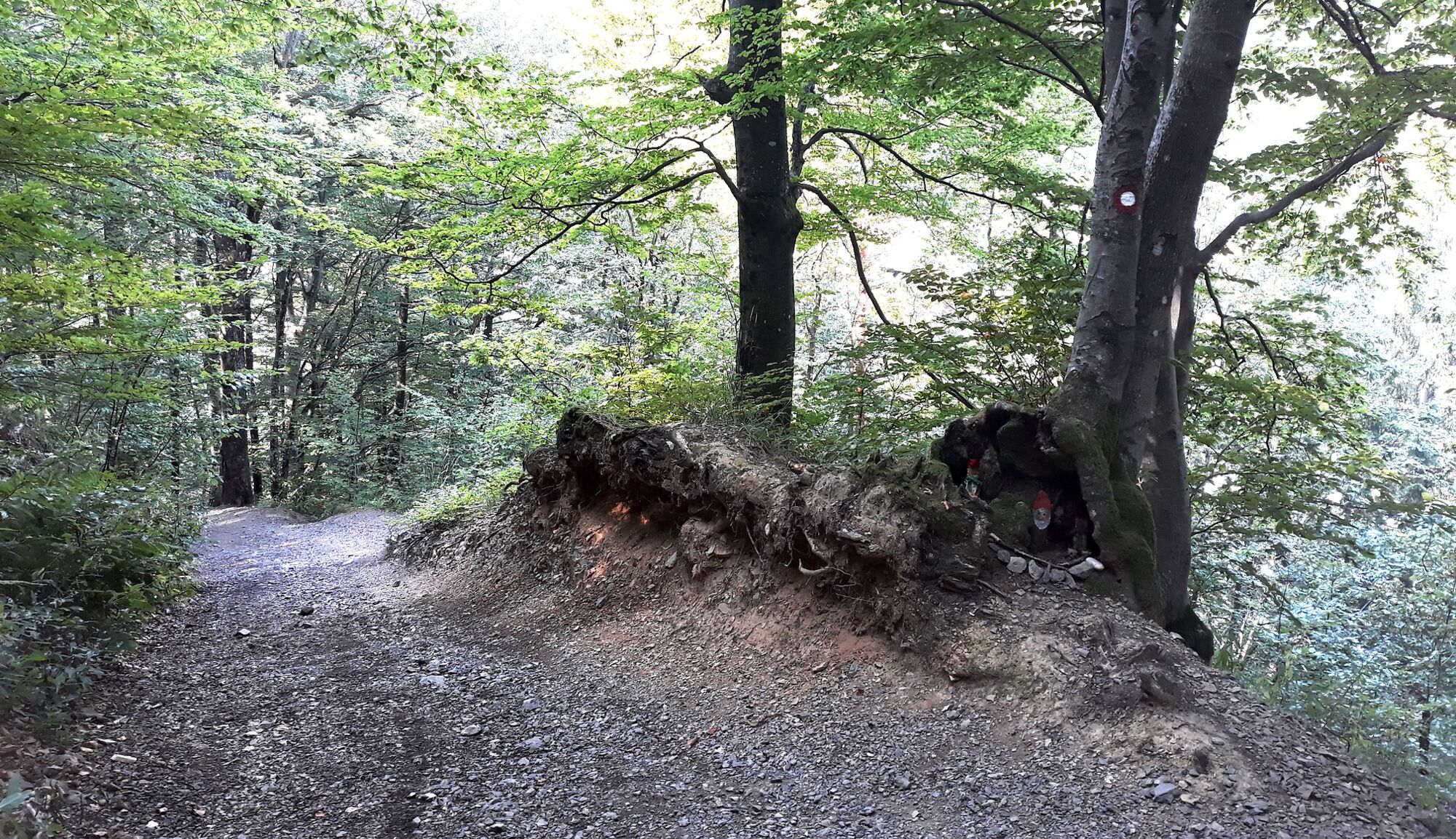
KropaThe Parish Church of Our Lady of Kropa0,2 kmBarigla (685 m)1,1 kmJamnik slope soaring3,4 kmKirche des St. Primus und St. Felician3,4 km
- La mejor temporada
-
enefebmarabrmayjunjulagosepoctnovdic
- Punto álgido
- 822 m
- Punto final
-
Church of St. Primus and Felician, Jamnik
- Perfil alto
-
 © outdooractive.com

- Autor
-
La gira From Kropa to Jamnik es utilizado por outdooractive.com proporcionado.
GPS Downloads


Información general
Cultural/Histórico
Vistas panorámicas
Más circuitos por las regiones
-
Klopeiner See - Südkärnten
1163
-
Gorenjska
140
-
Radovljica
166